

Lake Powell water level
Lake Powell measured 3,539.9 ft at the Nov 14 reading.
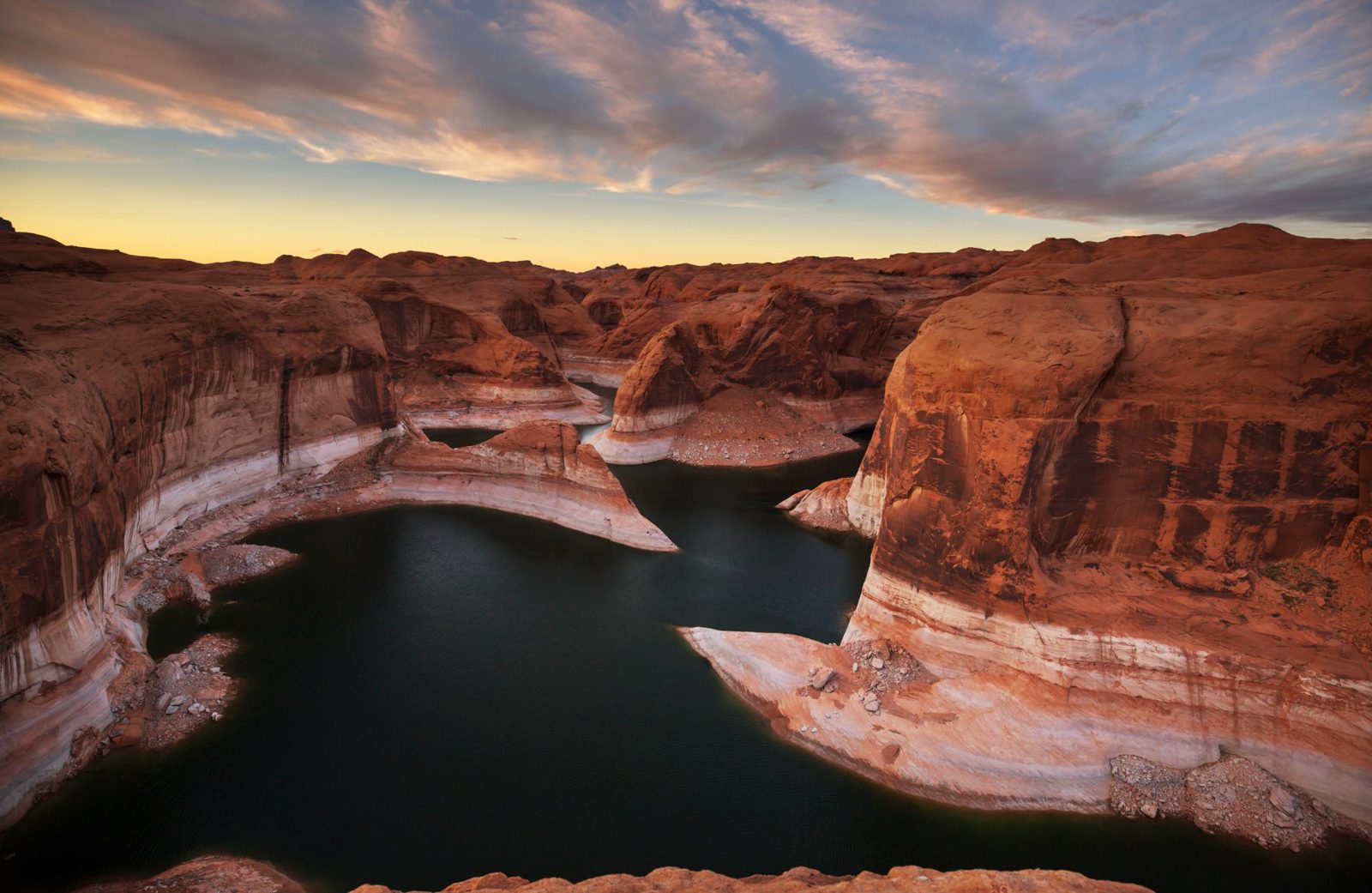
Reflection Canyon. The pale band on the cliffs is the "bathtub ring", left by higher water.
Nov 14, 2026 reading · USBR
Rising 0.18 ft/day this week
Explore the water level
Nov 15, 2025 – Nov 14, 2026
- Full pool · 3,700 ft ↑ above chart
- Minimum power pool · 3,490 ft ↓ below chart
- Post-fill record low · 3,516.62 ft · reference line
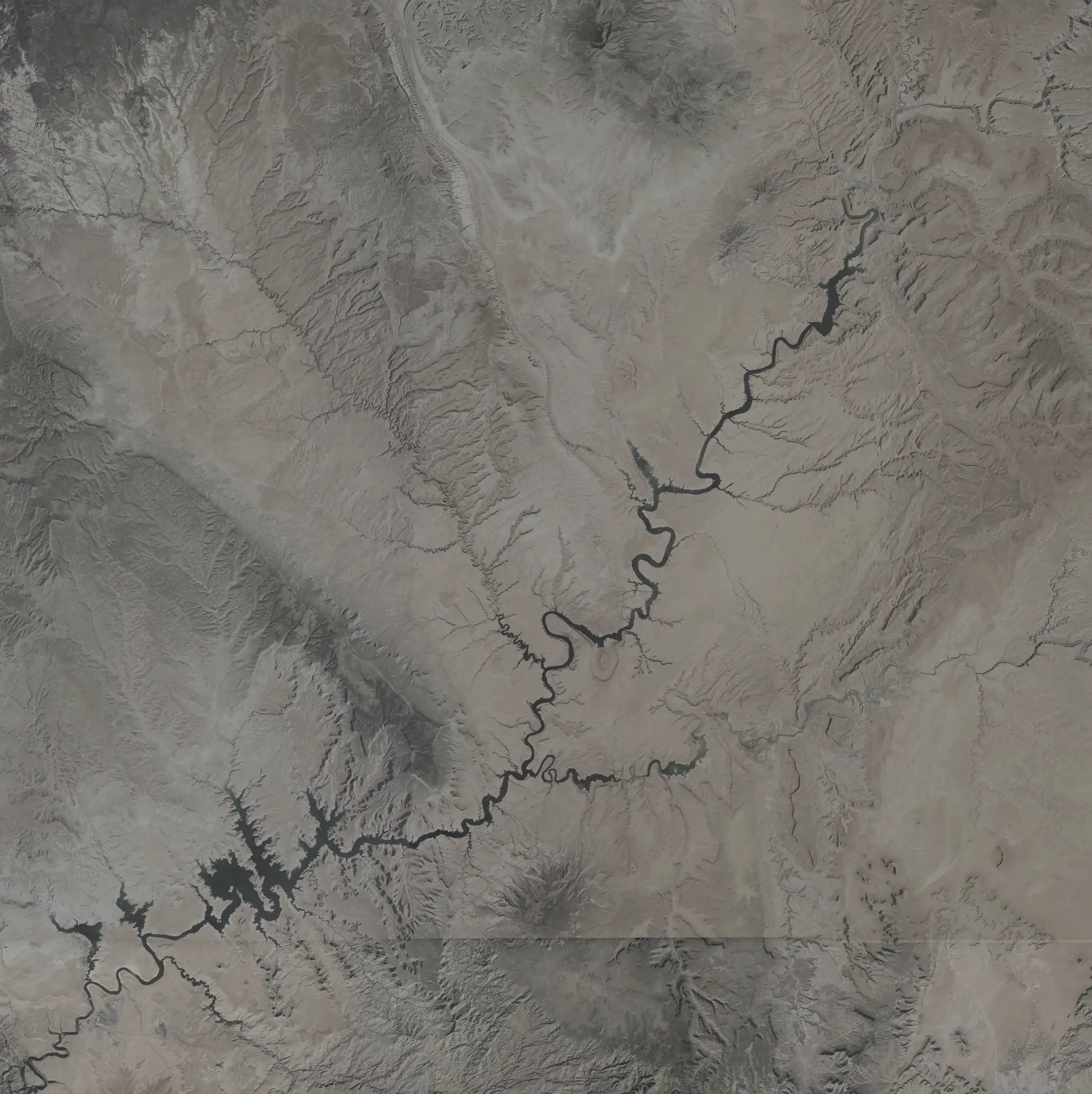
Lake Powell from space
What the water tells us
Lower than on 95% of days since the lake first filled in 1980.
Up 23.2 ft from the post-fill record low of 3,516.6 ft on Sep 15, 2026.
No Aug–Dec since 1980 has seen a 30-day rise this big: +20.1 ft (previous best +12.0 ft, Aug 1995).
4.6 ft lower than a year ago. 66.6 ft lower than ten years ago.
The last earlier reading at or above this level was Jan 3, 2026.
The all-time high was 3,708.3 ft on Jul 14, 1983.
| Year | Reading date | Level |
|---|---|---|
| 2025 | Nov 14 | 3,544.4 ft |
| 2024 | Nov 14 | 3,576.2 ft |
| 2023 | Nov 14 | 3,572.2 ft |
| 2022 | Nov 14 | 3,529.3 ft |
| 2021 | Nov 14 | 3,543.3 ft |
| 2020 | Nov 14 | 3,589.9 ft |
| 2019 | Nov 14 | 3,612.2 ft |
| 2018 | Nov 14 | 3,587.6 ft |
| 2017 | Nov 14 | 3,626.2 ft |
| 2016 | Nov 14 | 3,606.5 ft |
Daily USBR observations; missing dates use the nearest earlier reading. Seasonal comparisons use each year’s best 30-day change ending in the same seasonal window, from 1980 onward.
See the full water history and records →
Drag the lake
Play traces the post-fill record low to the highest level in the last five years and back. Models cover 3,490–3,620 ft; jumps and playback stop at those bounds.
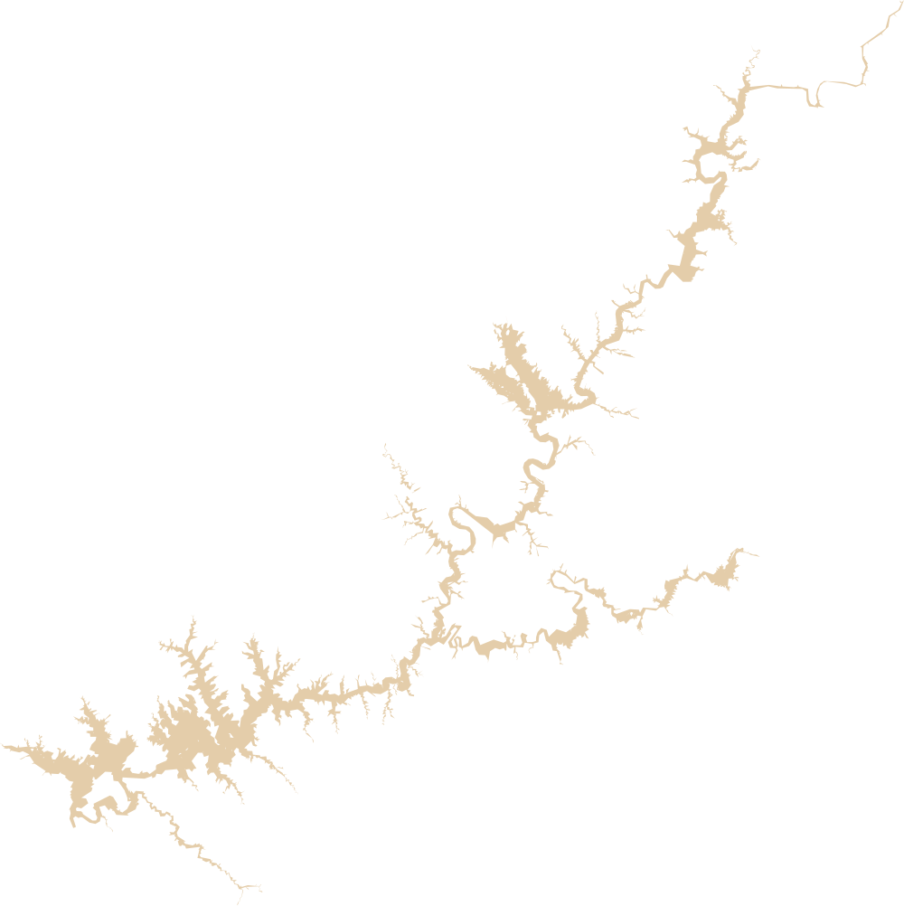
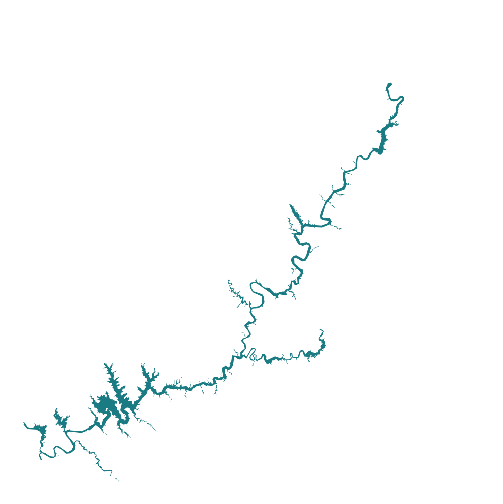
Pinch or use + to zoom into any part of the lake. The zoom stays put while you change the level.
Ramps by NPS minimum elevation
Minimums only; actual open/closed status comes from NPS.
- Bullfrog Main Launch Ramp · 3,578 ft38 ft short
- Hite Launch Ramp · 3,650 ft110 ft short
- Wahweap Stateline Launch Ramp · 3,567 ft27 ft short
- Bullfrog North Launch Ramp · 3,525 ftabove its minimum
- Wahweap Main Launch Ramp · 3,545 ft5 ft short
- North Wash TakeoutMinimum unavailable
- Antelope Point Public Launch Ramp · 3,588 ft48 ft short
- Stateline Auxiliary Launch Ramp · 3,515 ftabove its minimum
- Halls Crossing Launch Ramp · 3,557 ft17 ft short
See every NPS launch site and access point →
Sources: USBR daily elevation readings and NPS launch ramp status. Ramp statuses carry their own as-of dates; the daily elevation update does not reconfirm them.
Not for navigation. Conditions change fast. Check the National Park Service before you launch.