Hikes · Lake Powell

Hikes around the lake

41 hikes around Lake Powell, from short walks near Wahweap to canyon hikes you start from a boat.

Places

Wahweap Windows Arch Hike

Wahweap Windows Arch Hike

Hikes

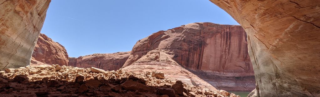
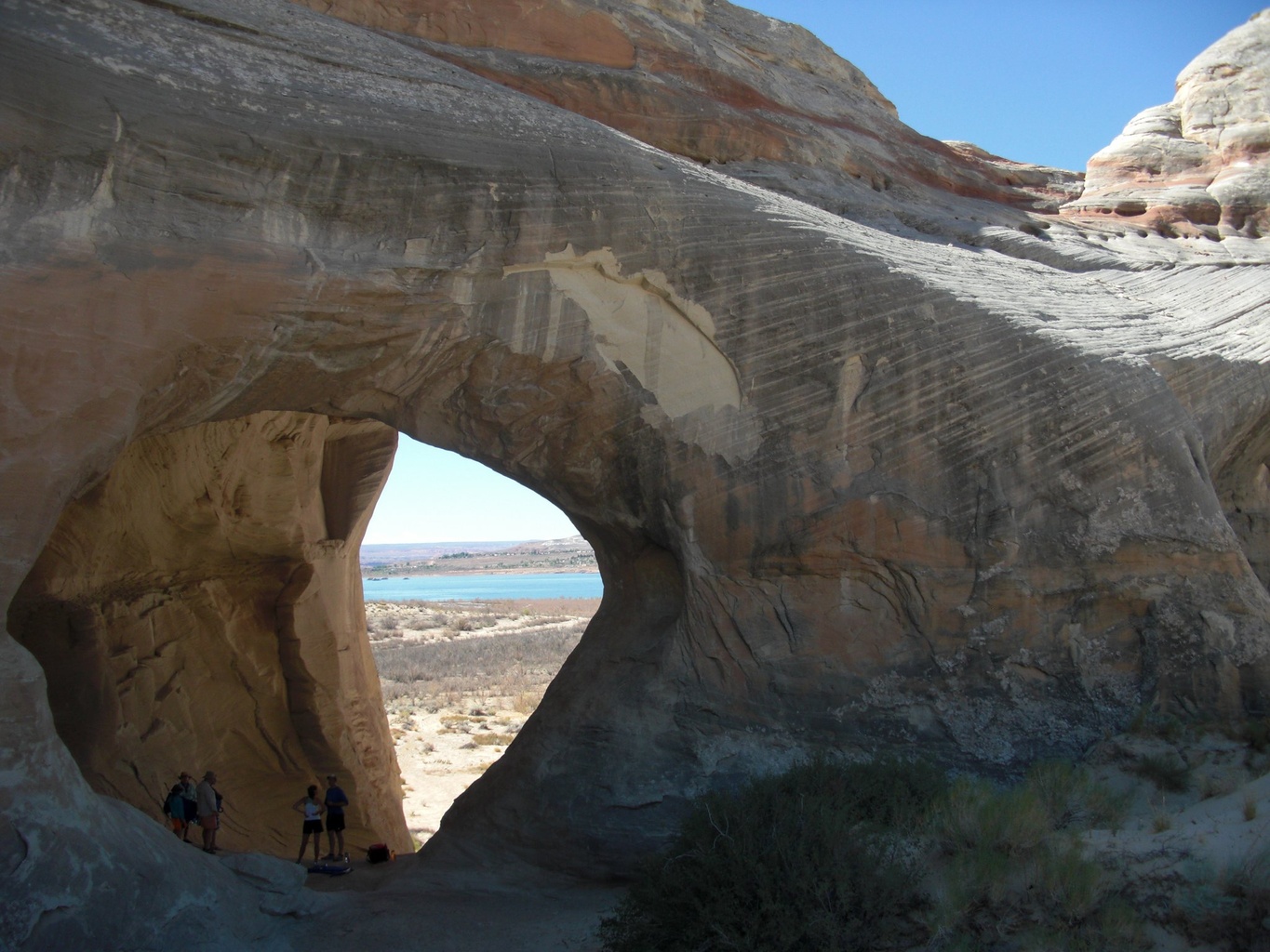
Wahweap Window is a sandstone arch in the Wahweap Bay area, on the Utah side of the lake north of Wahweap Marina. It is listed as 7-1 in the Vreeland arch catalog. It is reached on foot over sand and slickrock; check a current route description and carry water.

Natural AttractionsRock Formation
Seven Mile Canyon Hike

Seven Mile Canyon Hike

Hikes

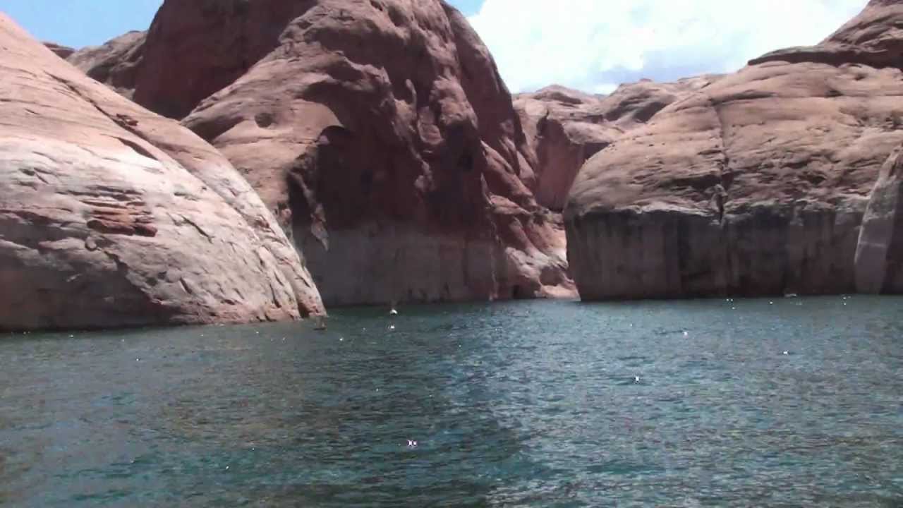
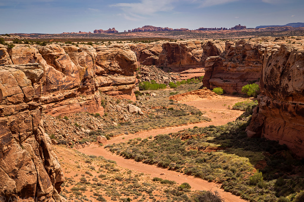
Lower Sevenmile Canyon reaches the lake at about mile 115, roughly 20 miles uplake from Bullfrog. Hiking up from the water leads into a narrows section. Flash floods are a risk, so check the forecast first.

Natural AttractionsRock Formation
Hole In the Rock Hike

Hole In the Rock Hike

Hikes

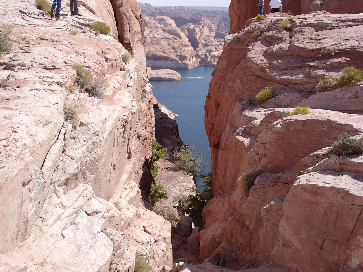
The Hole in the Rock route climbs a steep, narrow cleft on the west side of the main channel at about buoy 66, just below the mouth of the Escalante arm. From the water it is about half a mile each way to the rim, over boulders and loose rock, on the route the 1879-80 San Juan Mission pioneers cut to lower their wagons to the river. The rim can also be reached by the Hole-in-the-Rock Road, a long, rough dirt road from Escalante.

History, Culture, ArtHistoric Landmark
Cha Canyon Hike

Cha Canyon Hike

Hikes

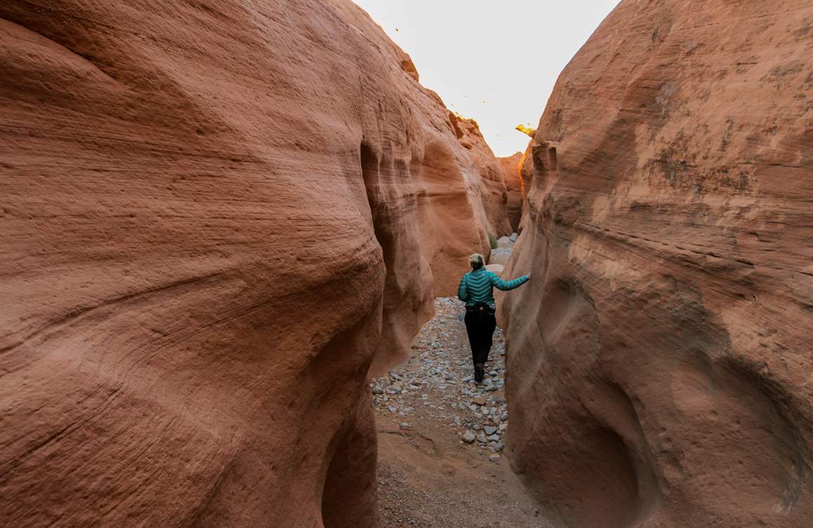
Cha Canyon is a narrow side canyon on the south side of the San Juan arm, one of the most isolated canyons on the lake. There are no services on the San Juan arm, so bring enough fuel and supplies for the round trip. The land is Navajo Nation, so hiking requires a Navajo Nation backcountry permit.

Natural AttractionsRock Formation
Navajo Canyon Hike

Navajo Canyon Hike

Hikes

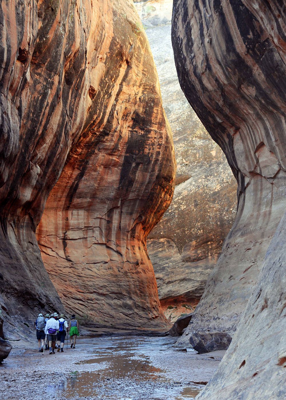
Navajo Canyon is the long side canyon that opens off the main channel near buoy 10, uplake from Antelope Point Marina. A hike up the canyon leads to Chaol Falls; the distance depends on where you can beach at the current lake level. The land is Navajo Nation, so a Navajo Nation permit is required to hike.

TrailHiking Trail
Hansen Creek Canyon Hike

Hansen Creek Canyon Hike

Hikes

Hansen Creek is the first canyon on the west side of the lake uplake from Bullfrog, at about mile 104, across from Crystal Spring Canyon. It has lots of camping and is often busy. You can walk up the wash from the shoreline.

TrailCanoe/Kayak Trail

Explorer Canyon Hike

Hikes

Explorer Canyon is a side canyon of the Escalante arm, upstream of Willow Gulch. Zane Grey Arch stands in a cove in the canyon, and there are petroglyph panels. Explore on foot from where your boat can land; how far you can boat in depends on the lake level.

Natural AttractionsRock Formation
Ticaboo Canyon South Fork Hike

Ticaboo Canyon South Fork Hike

Hikes

The South Fork of Ticaboo Creek joins Ticaboo Creek, which reaches the upper lake around mile 122. Its slot sections are the attraction. Check the flash flood forecast before going in.

Natural AttractionsRock Formation
Forty Mile Creek Hike

Forty Mile Creek Hike

Hikes

Fortymile Gulch is a tributary of Willow Gulch on the Escalante arm. Sculpted walls form a narrow channel with clear pools; expect to wade, and depending on water you may need to swim with your pack. Hikers often combine it with Willow Gulch as a loop from the Hole-in-the-Rock Road.

Natural AttractionsRock Formation
Navajo Creek Hike

Navajo Creek Hike

Hikes

A hike along Navajo Creek in Navajo Canyon, on Navajo Nation land south of the lake. A Navajo Nation permit is required to hike here. Check the flash flood forecast before entering the canyon.

TrailHiking Trail

Chaol Creek Hike

Hikes

Secluded desert hike.

TrailHiking Trail

Deep Canyon Hike

Hikes
Natural AttractionsScenic View/Overlook
Driftwood Canyon Hike

Driftwood Canyon Hike

Hikes

Driftwood Canyon, off the main channel around mile 46 a few miles uplake from Dangling Rope, narrows quickly into a slot that is fun to explore on foot from where you beach. Footing changes with the lake level and with flood debris. Wind and boat traffic in the main channel can build rough water quickly.

TrailHiking Trail
Llewellyn Gulch Hike

Llewellyn Gulch Hike

Hikes

Llewellyn Gulch is a side canyon on the west side of the main channel, a couple of miles downlake from Hole-in-the-Rock. From the lake, an impressive red-walled gorge with a clear stream leads back to more than a mile of narrow, twisting passages beneath the cliffs of Fiftymile Point. Wade the stream and expect some brush.

Natural AttractionsRock Formation
Mountain Sheep Canyon Hike

Mountain Sheep Canyon Hike

Hikes

Mountain Sheep Canyon opens off the main channel at about buoy 44, a couple of miles uplake from Dangling Rope. Beach where the water ends and walk up the canyon floor.

Natural AttractionsGeological Landmark
Swett Creek Hike

Swett Creek Hike

Hikes

Swett Creek is a medium-sized canyon with several short stretches of narrows in its upper half and a deeper, boulder-strewn gorge lower down. It meets Trachyte Creek at the lake's high-water line, at the Hite end of the lake. It is easy to explore, with no real obstacles beyond one short stretch of potholes that may need wading, and it has a few side canyons of interest; longer hikes continue up Trachyte Creek.

Natural AttractionsRock Formation

Lake Canyon Hike

Hikes

Lake Canyon enters the east side of the main channel at about mile 88, south of Halls Crossing. It is named for Lake Pagahrit, a natural lake held behind a sand dam about eight miles up the canyon; the dam washed out in November 1915. The 1880 Hole-in-the-Rock pioneers drove their wagons across that dam. The canyon held many Ancestral Puebloan sites, and you can hike up it from the water.

Natural AttractionsRock Formation
Moqui Canyon Hike

Moqui Canyon Hike

Hikes
Natural AttractionsGeological Landmark
Wetherill Canyon Hike

Wetherill Canyon Hike

Hikes

Wetherill Canyon opens off the main channel at about mile 40, just downlake from Dangling Rope. Beach where the water ends and walk up the canyon; its slot section floods when the lake is high. Keyhole Arch can be reached by walking the right bank and climbing a talus slope.

Natural AttractionsGeological Landmark
Ticaboo Creek Hike

Ticaboo Creek Hike

Hikes

Ticaboo Creek reaches the lake at Ticaboo Canyon, around mile 122 in the upper lake, about 27 miles uplake from Bullfrog. You can walk up the creek from the shoreline; UT-276 crosses the drainage farther up near Ticaboo.

Natural AttractionsRock Formation
Forbidding Canyon Hike

Forbidding Canyon Hike

Hikes

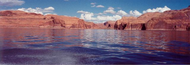
Upper Forbidding Canyon continues past the Bridge Canyon turnoff to Rainbow Bridge and climbs toward Navajo Mountain. Above the lake the land is Navajo Nation, and the long overland routes to Rainbow Bridge around Navajo Mountain require a Navajo Nation backcountry permit. Expect rough, unmaintained routes with no services.

Natural AttractionsRock Formation
Trachyte Canyon Hike

Trachyte Canyon Hike

Hikes

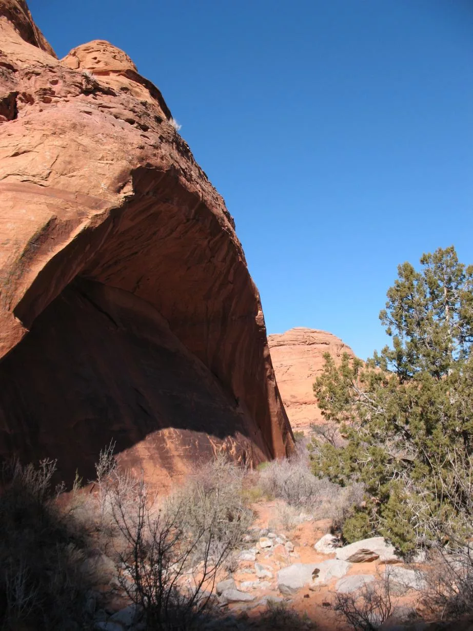
Trachyte Creek drains the eastern Henry Mountains and reaches the lake about 8 miles below Hite, at about mile 135. It has a permanent stream and more than 20 narrow side canyons, including Swett Creek and Maidenwater. UT-276 crosses the creek upstream, which is the usual land access.

Natural AttractionsGeological Landmark
Rainbow Bridge Hike

Rainbow Bridge Hike

Hikes

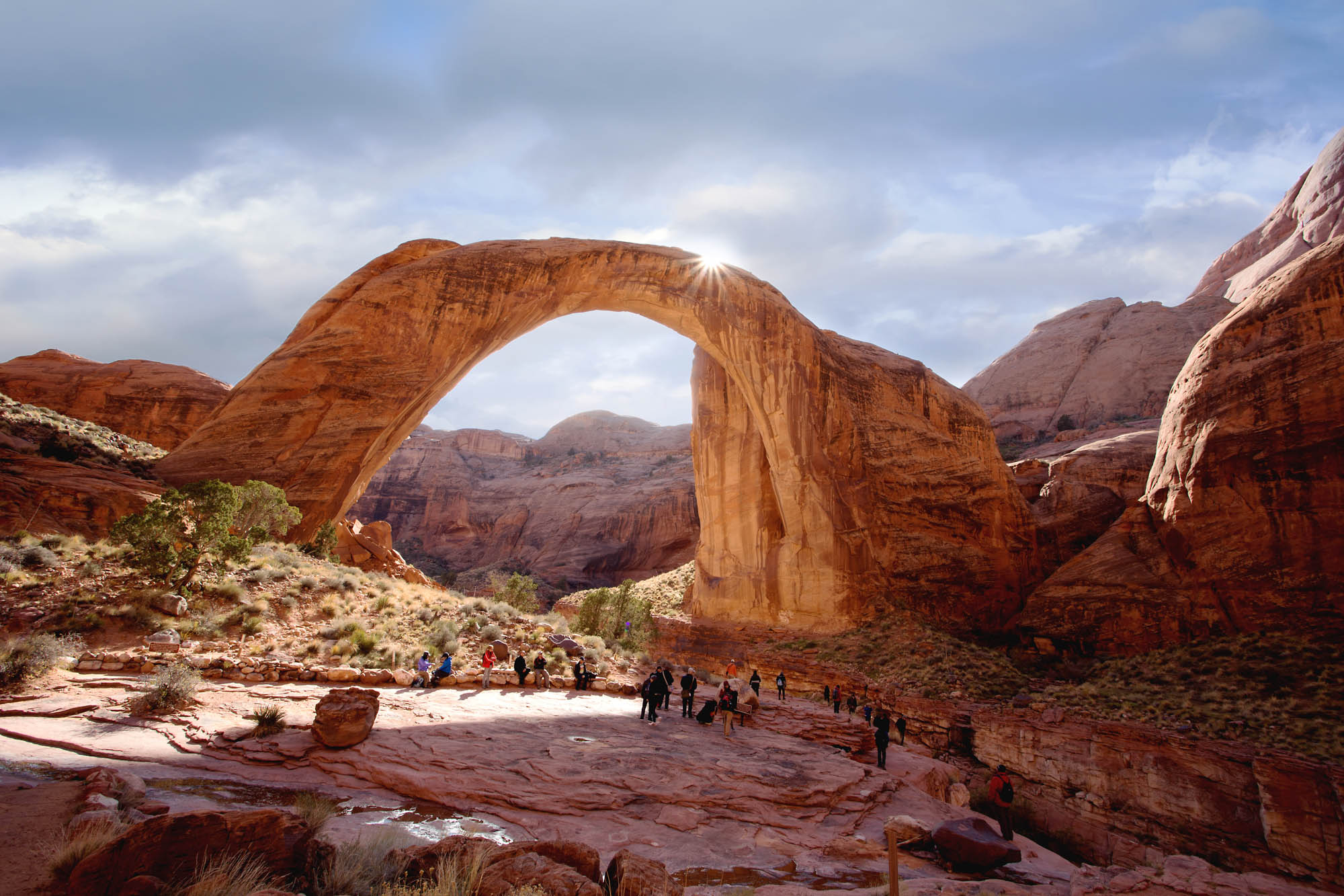
Rainbow Bridge, in Rainbow Bridge National Monument, is one of the largest natural bridges in the world: about 290 feet high with a 275-foot span. Boat into Forbidding Canyon at about mile 49-50, follow Bridge Canyon to the courtesy dock, and walk to the viewing area; the walk's length changes with the lake level. The bridge is sacred to the Navajo and other tribes. The overland routes around Navajo Mountain (14+ miles) need a Navajo Nation permit.

Natural AttractionsGeological Landmark
South Fork Swett Creek Hike

South Fork Swett Creek Hike

Hikes

The South Fork of Swett Creek is a side branch of Swett Creek, a Trachyte Creek tributary at the Hite end of the lake. Like the main fork it has short stretches of narrows. Reach it by hiking up Swett Creek.

Natural AttractionsGeological Landmark
Iceberg Canyon Hike

Iceberg Canyon Hike

Hikes

Iceberg Canyon is a Lake Powell-accessed hike that typically requires a boat to access. Whether you own or rent a boat, it is important that you have the skills and equipment to navigate and anchor your boat safely and properly before attempting this hike.

Natural AttractionsRock Formation
Willow Creek Canyon Hike

Willow Creek Canyon Hike

Hikes

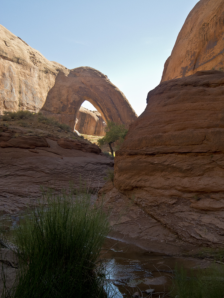
Willow Gulch is a side canyon of the Escalante arm. A walk up the canyon from where boats can land leads to Broken Bow Arch, which spans about 94 feet, and Fortymile Gulch joins Willow Gulch above the arch. By land, the hike starts from a trailhead off the Hole-in-the-Rock Road.

Natural AttractionsGeological Landmark

West Canyon Hike

Hikes

West Canyon is a long side canyon on the Arizona side of the lake that typically requires a boat to reach. Whether you own or rent a boat, have the skills and equipment to navigate and anchor safely before attempting this hike. Beyond the water the canyon has a small year-round stream and a tight slot.

TrailHiking Trail
Fifty Mile Canyon Hike

Fifty Mile Canyon Hike

Hikes

Fiftymile Creek is a side canyon of the lower Escalante arm. The lower canyon has narrows and pools that require wading. By land, hikers reach it from the Hole-in-the-Rock Road.

Natural AttractionsRock Formation
Antelope Canyon Hike

Antelope Canyon Hike

Hikes

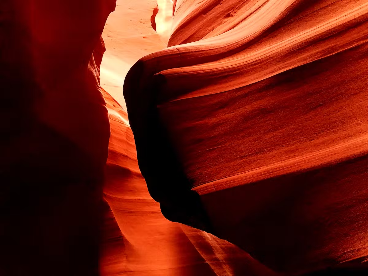
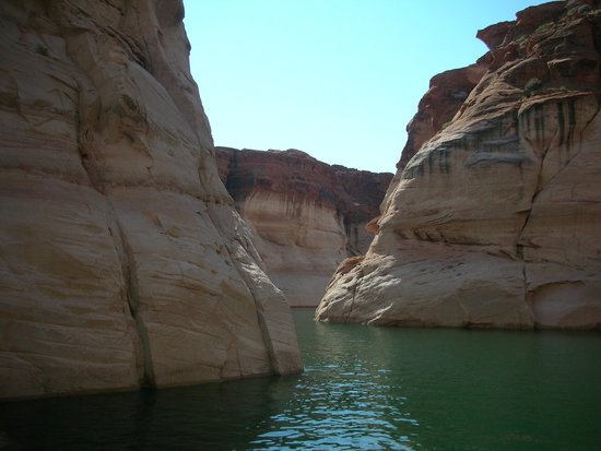
Antelope Canyon is on Navajo Nation land outside Page. Upper Antelope Canyon (the Corkscrew) and Lower Antelope Canyon can only be visited on tours with Navajo-authorized guides; book ahead, especially for Upper. Lower Antelope has steep stairs and is the more strenuous of the two. You can also boat into the Antelope Canyon arm of Lake Powell and walk a short way beyond the water, but you can't hike from the lake to the photogenic slot sections.

Natural AttractionsGeological Landmark
Black Hole Hike

Black Hole Hike

Hikes

The Black Hole of White Canyon is a slot reached from UT-95 near milepost 57, not from the lake. It is a strenuous route with long, cold swims; most people need a wetsuit. Don't go in if storms are possible anywhere upstream; flash floods have killed hikers here.

Natural AttractionsGeological Landmark

Clear Creek Canyon Hike

Hikes

Clear Creek is a narrow side canyon of the Escalante arm, about 70 lake miles from Wahweap and about 30 from Bullfrog or Halls Crossing. It narrows quickly and the entrance can be hard to find. Cathedral in the Desert, the alcove and waterfall at its head, is underwater when the lake is high. It is far from any marina, so bring enough fuel and supplies; recommended for experienced boaters.

Natural AttractionsGeological Landmark
Davis Gulch Hike

Davis Gulch Hike

Hikes

Davis Gulch is a narrow, winding side canyon of the Escalante arm. Bement Arch is in the upper canyon and La Gorce Arch is lower down. Artist Everett Ruess was last known to be here in 1934; searchers found his burros and a 'NEMO 1934' inscription in the gulch. Reach it by boat via the Escalante arm or hike in from the lower Hole-in-the-Rock Road, and carry enough fuel and supplies, since it is far from marinas.

Natural AttractionsRock Formation