

Arches, bridges and viewpoints
47 arches and natural bridges and 29 landmarks and overlooks, from Rainbow Bridge to Alstrom Point and Gunsight Butte. Many are reached only by boat.
Places
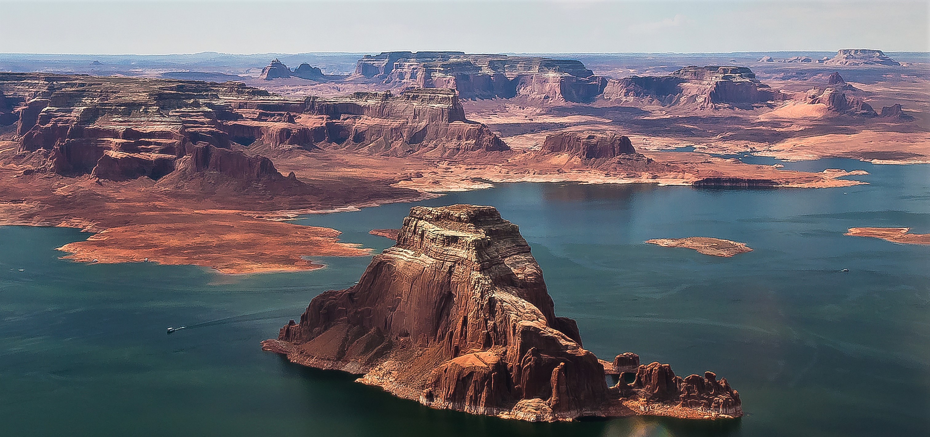
Gregory Butte
Gregory Butte is a 4,651-foot butte of Entrada Sandstone in Glen Canyon National Recreation Area that rises nearly 1,000 feet above the lake, just uplake (east) of Padre Bay. Before Lake Powell filled, it stood inside a meander of the Colorado River. It is named for geologist Herbert E. Gregory, who mapped much of the Colorado Plateau.
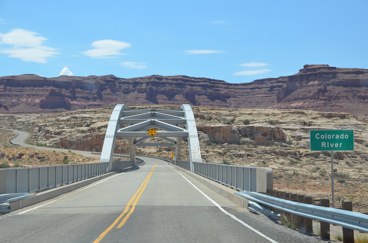
Hite Crossing Bridge
The Hite Crossing Bridge is a steel arch bridge that carries UT-95 over the Colorado River at the north end of Lake Powell. It was dedicated on June 3, 1966, along with bridges over the Dirty Devil River and White Canyon, when the highway was rerouted for the rising lake. It replaced the Hite ferry, whose crossing is now under the lake.
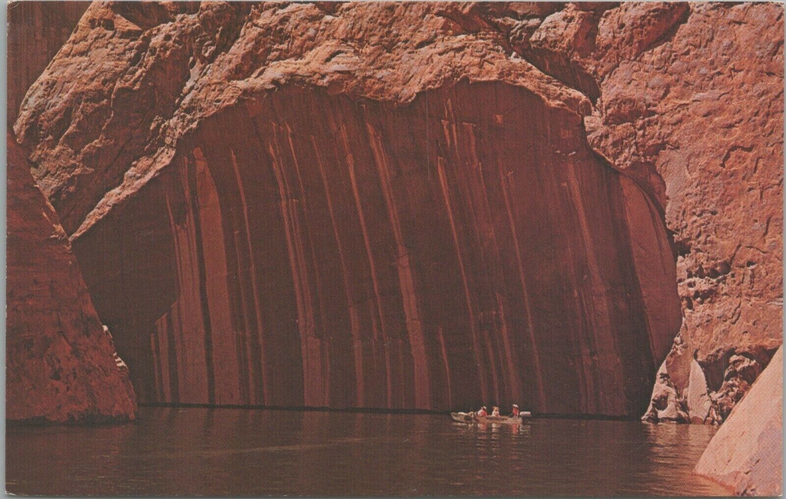
Cascade Canyon Water Cave
This marks a cave in Cascade Canyon, a side canyon off the main channel a short way downlake from the mouth of Forbidding Canyon, the turnoff for Rainbow Bridge.
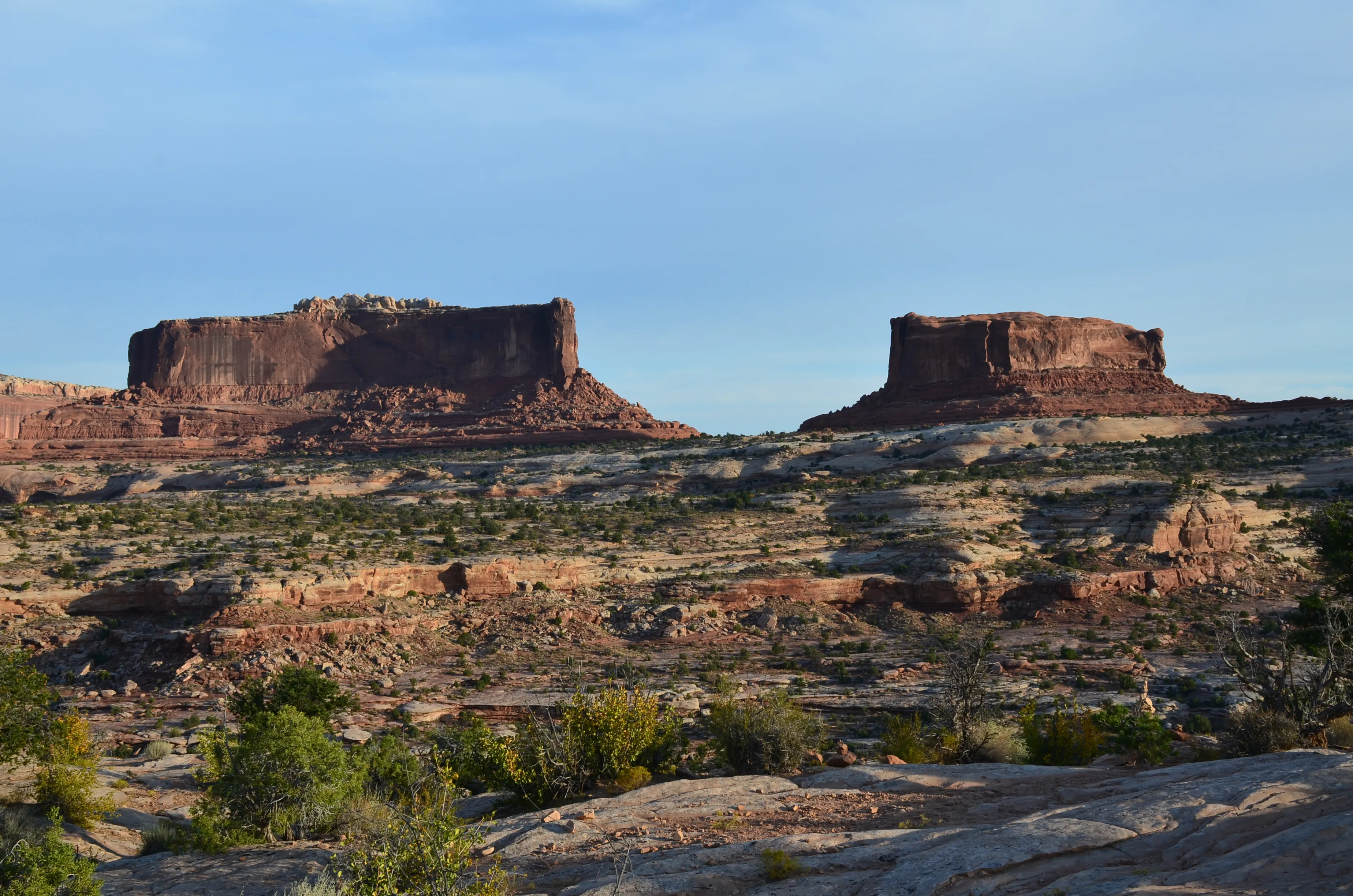
Monitor Butte
Monitor Butte is a 5,518-foot butte south of the upper San Juan arm, near Nokai Canyon, Castle Creek and Monitor Mesa on Navajo Nation land. It is the type locality of the Monitor Butte Member of the Chinle Formation. Hiking on Navajo land requires a Navajo Nation backcountry permit.
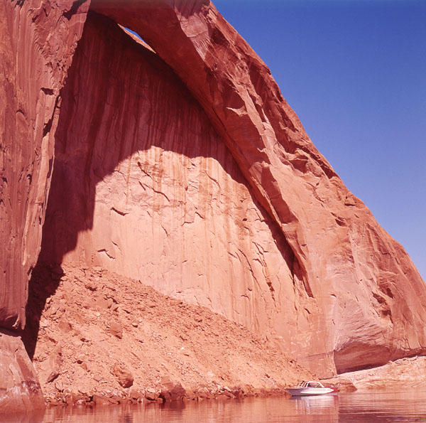
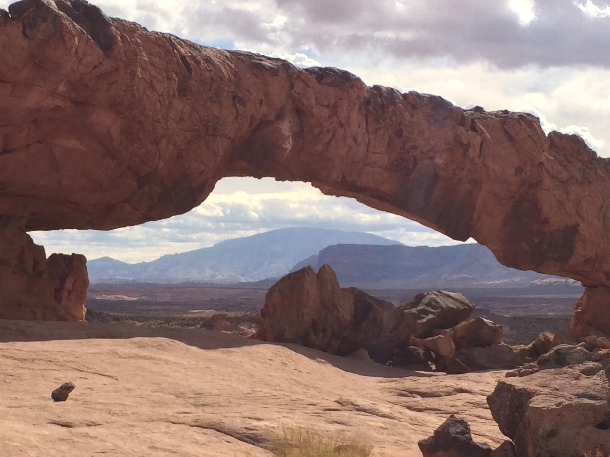
Coyote Natural Bridge
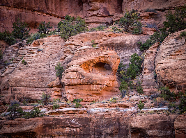
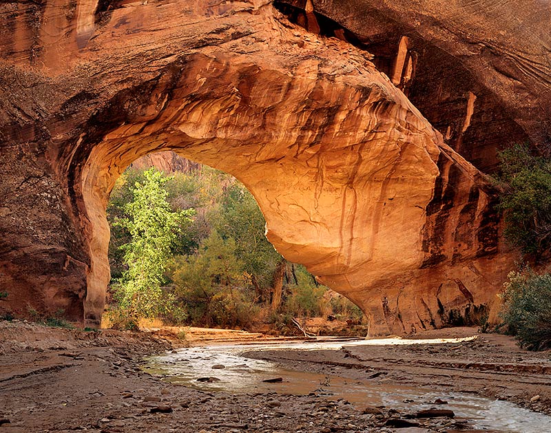
Coyote Natural Bridge spans the creek in Coyote Gulch, downstream of Jacob Hamblin Arch; the stream flows right through it. Coyote Gulch joins the Escalante River near the upper end of Lake Powell's Escalante arm. Most hikers reach it from trailheads off the Hole-in-the-Rock Road; overnight trips need a permit.

Rainbow Bridge National Monument
Rainbow Bridge National Monument is a natural sandstone bridge in southern Utah and one of the largest known natural bridges in the world. It is sacred to the Navajo, Hopi, Kaibab Paiute, San Juan Southern Paiute and White Mesa Ute peoples. Please view it from the trail and viewing area; don't approach or climb the bridge. Getting there by boat (Oct 2026): the courtesy docks were moved to deeper water in August 2025 because of low water, and the dock toilet is open. Small boats can beach; watch for mud and quicksand. NPS puts the walk from the dock at about 2 miles up Forbidding Canyon. Wakeless zone, no fishing, open sunrise to sunset.
Woolsey Arch
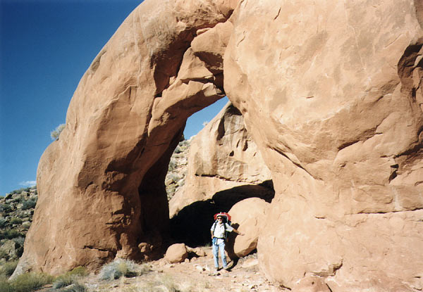
Woolsey Arch is a mostly free-standing arch in upper Rock Creek Canyon, about five miles north of the lake. It is an off-trail hike of about four miles up Rock Creek from the back of Rock Creek Bay, which opens off the north side of the main channel near buoy 36.
Cathedral in the Desert
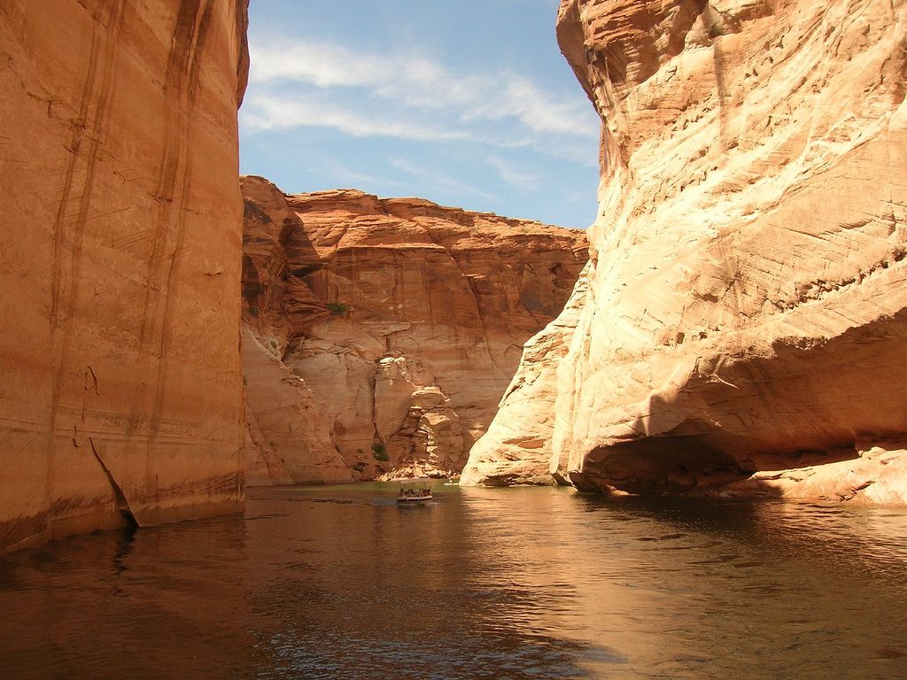
The Cathedral is one of many natural icons re-emerging as Lake Powell recedes. Gregory Natural Bridge, one of the largest natural bridges in the country, is now visible and can be passed under. Submerged in 1963, Cathedral in the Desert first re-emerged briefly in 2005 when lake levels dropped 150 feet from their peak. In 2019 the lake dropped far enough that the Cathedral re-emerged for good. Compared with photos from before the dam, the waterfall has the same dark desert varnish, though the walls now carry the "bathtub ring" seen elsewhere around the lake. Lake level notes (Oct 2026, ~3,532 ft): the Cathedral is fully out of the water. It begins to re-emerge below about 3,605 ft, and its waterfall runs below about 3,580 ft. Whether boats can reach the mouth of Clear Creek at current levels is unconfirmed, so check recent reports.
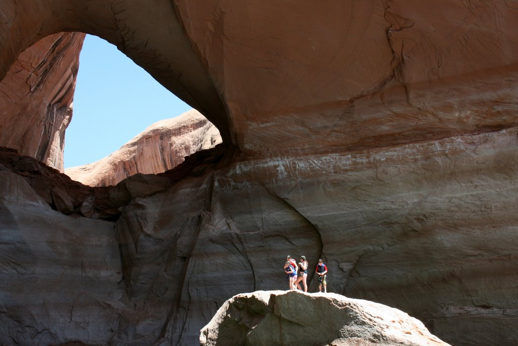
La Gorce Arch
La Gorce Arch is in Davis Gulch, a side canyon of the Escalante arm of Lake Powell, and is one of the most photographed arches on the lake. How close you can get by boat depends on the lake level.
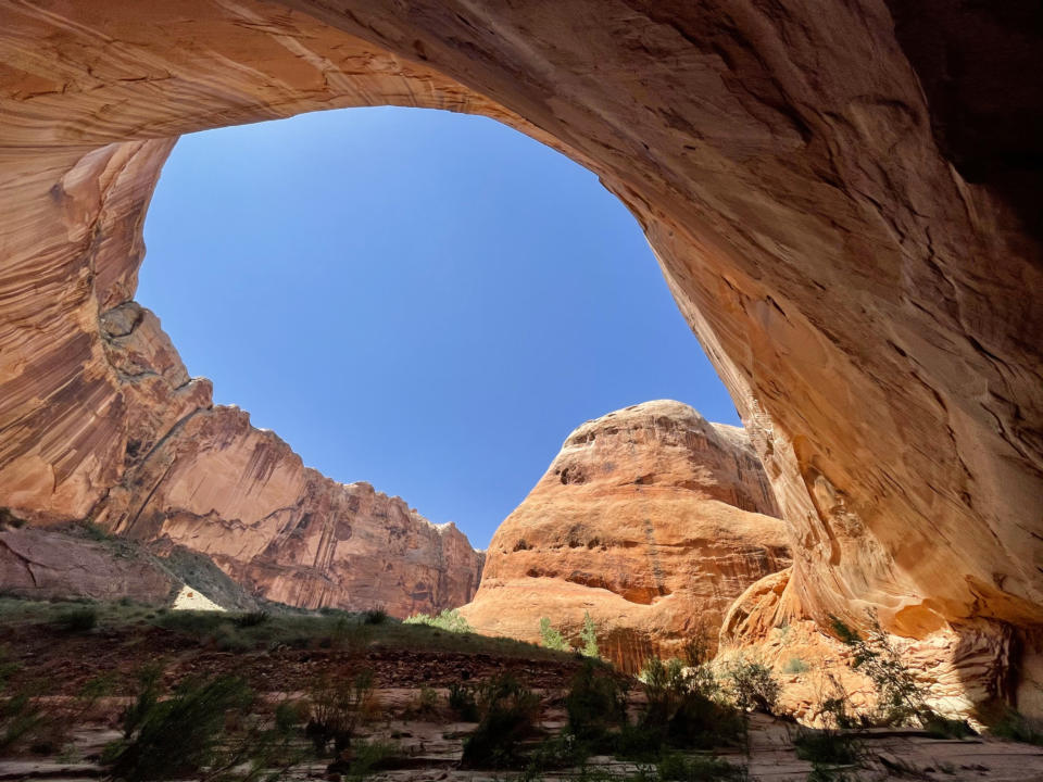
Halls Creek Arch
An arch near the far end of Halls Creek Bay, the bay on the west side of the lake just south of Bullfrog (about mile 93). It is hard to spot from the water; look closely at the rock near the back of the bay.
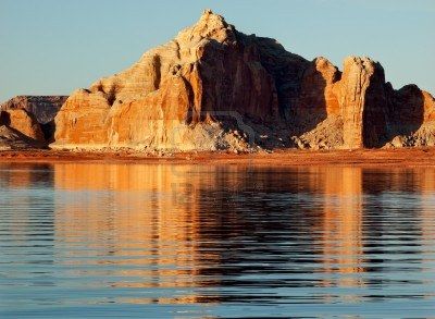
Castle Rock
Castle Rock is a sandstone butte near Wahweap. The Castle Rock Cut, a channel through the saddle beside it, was first dug in the early 1970s and has been re-excavated and deepened several times since. It links Wahweap Bay with Warm Creek Bay and, when the lake is high enough to use it, saves about 10-12 miles (roughly an hour) on trips uplake. Check with the NPS whether it is open before planning around it.
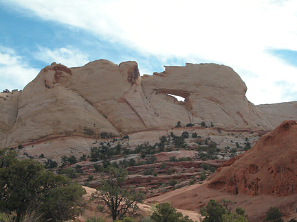
Peekaboo Arch
Peekaboo Arch, also called the Rim Arches or Eagles Nest, is a set of arches on the north cliff of the San Juan arm, just uplake from Deep Canyon. One trip report describes a 4.2-mile round-trip hike from the water with about 880 feet of climbing. Wear sturdy shoes, and bring enough fuel; there are no services on the San Juan arm.
Escalante Arch
An arch on the lower Escalante arm, in the stretch of side canyons that includes Davis Gulch, Fiftymile Creek and Willow Gulch. The Escalante arm leaves the main channel at about mile 68.
Anasazi Canyon Double Arch
Twin arches in Anasazi Canyon, a side canyon off the main channel just up-lake from Forbidding Canyon and Rainbow Bridge. At current lake levels the arches sit high and dry above the water; years ago boats could pass beneath them.
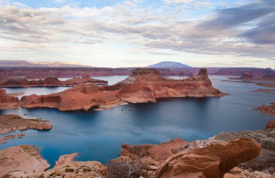
Gunsight Butte
Gunsight Butte is a 4,678-foot sandstone butte in Glen Canyon National Recreation Area, Kane County, near Gunsight Bay on the lower lake. It rises nearly 1,000 feet above the lake when it is full. It is mostly Entrada Sandstone, overlain by Romana Sandstone and capped by Morrison Formation.
Wetherill Canyon Arch
An arch in Wetherill Canyon, a side canyon off the main channel at about mile 40, just downlake from Dangling Rope. Look for it from the canyon floor after beaching where the water ends.
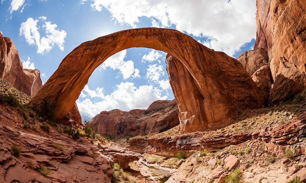
Forbidding Canyon Arch
Bridge Canyon, the branch of Forbidding Canyon that leads to Rainbow Bridge, is the best known of Forbidding Canyon's tributaries. The bridge was long known to local Native people; in 1909 a party guided by John Wetherill and Nasja Begay became the first Anglo-Americans to reach it. Accounts by visitors such as Zane Grey and Theodore Roosevelt made it famous, but before the lake it took a long pack trip to get there, and fewer than 200 people signed the register in its first decade.
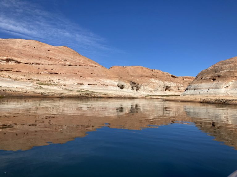
Annies Canyon Arch
This small canyon has several nice, calm bays where you can stop and get lunch. No channels go very far in Annie’s Canyon, and on a busy day there can be lots of waves from passing boats.
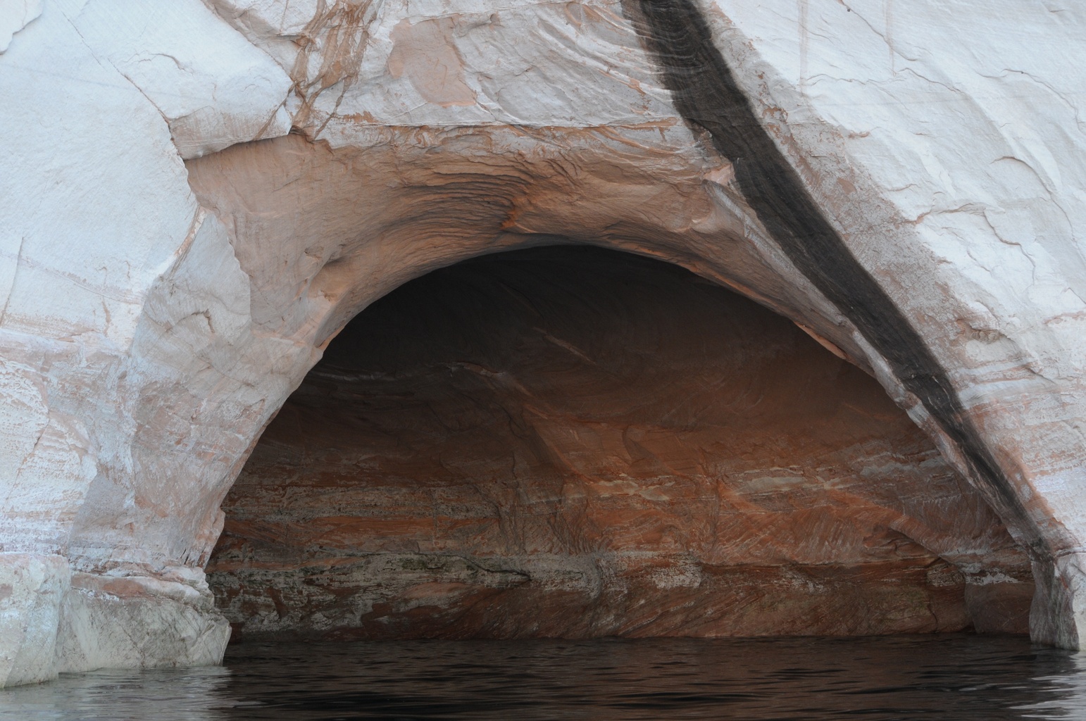
Dry Rock Creek Bay Cave
Rock Creek Canyon, Middle Rock Creek Canyon, and Dry Rock Creek Canyon are all accessed off of Buoy 36 at Lake Powell. The canyons are each wonderful places for relaxing on a beach, fishing, or taking in a sunrise / sunset against the towering red rock buttes. Rock Creek Canyon is located in South Lake Powell and is best reached from Wahweap Marina. These canyons are out of the wind, so they are a great location for waterskiing.
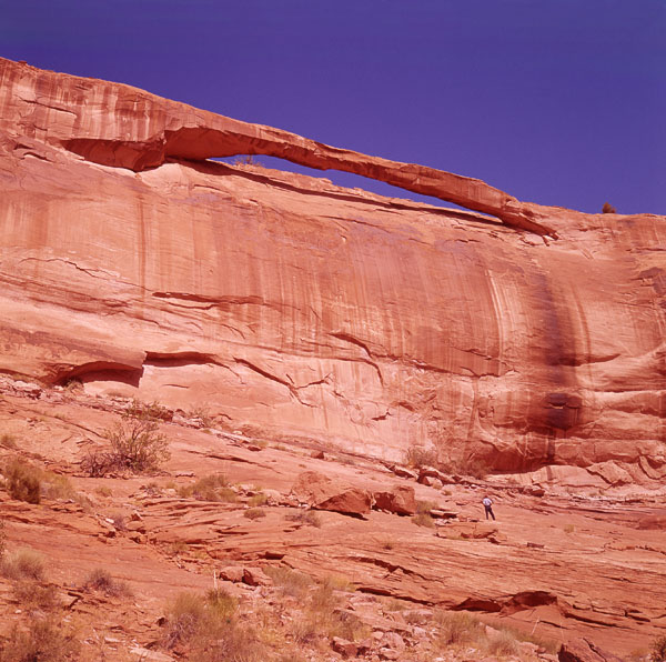
Beverly Arch
Beverly Arch is located in a side canyon of Deep Canyon off of the San Juan Arm of Lake Powell.
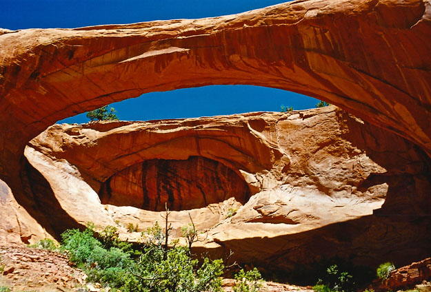
Hawkeye Arch
Hawkeye Natural Bridge is actually an arch, about 150 feet across, eroded through Navajo Sandstone in a small side canyon between Deep and Desha canyons, south of the San Juan arm. It is on remote Navajo Nation land northeast of Navajo Mountain, with no trail. Hiking on Navajo land requires a Navajo Nation backcountry permit.
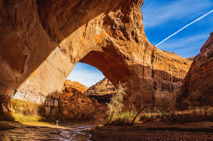
Jacob Hamblin Arch
Jacob Hamblin Arch is a massive sandstone arch and alcove in Coyote Gulch, which joins the Escalante River near the upper end of Lake Powell's Escalante arm. Most visitors hike in from trailheads off the Hole-in-the-Rock Road; from the Escalante end it is several miles up the gulch, past Coyote Natural Bridge. Overnight trips in Coyote Gulch need a backcountry permit.
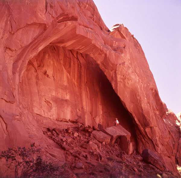
Carrot Top Arch
Carrot Top Arch sits on a ledge beside the main channel, downlake from Little Arch Canyon, in the stretch between Dangling Rope and Rainbow Bridge. Lake Powell mapmaker Stan Jones named it for his wife, Alice. It can be spotted from the main channel.
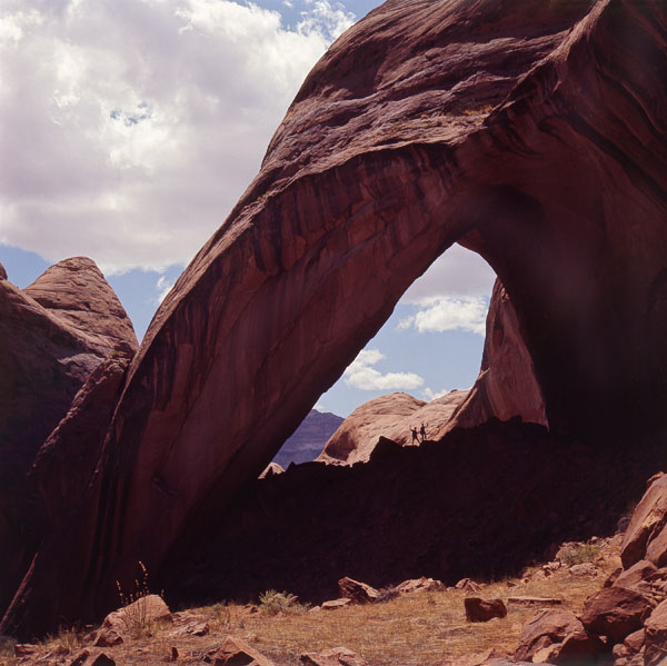
Bement Arch
Bement Arch is located on the upper section of Davis Gulch, on Lake Powell/Glen Canyon National recreation area in Kane county, Utah, USA.
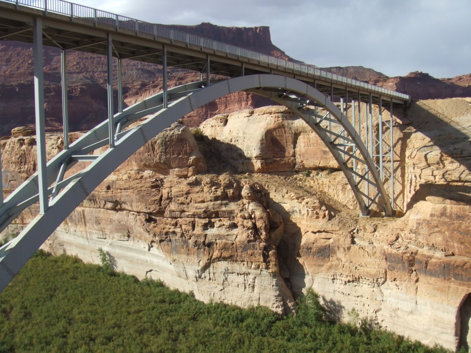
Steel-Arch Bridge
This is the Dirty Devil River Bridge, a steel deck arch that carries UT-95 over the Dirty Devil River near its mouth, just northwest of the Hite Crossing Bridge. It was built in the mid-1960s together with the Hite Crossing Bridge over the Colorado and the White Canyon bridge; the three were dedicated in 1966 when the highway was rerouted around the rising lake.
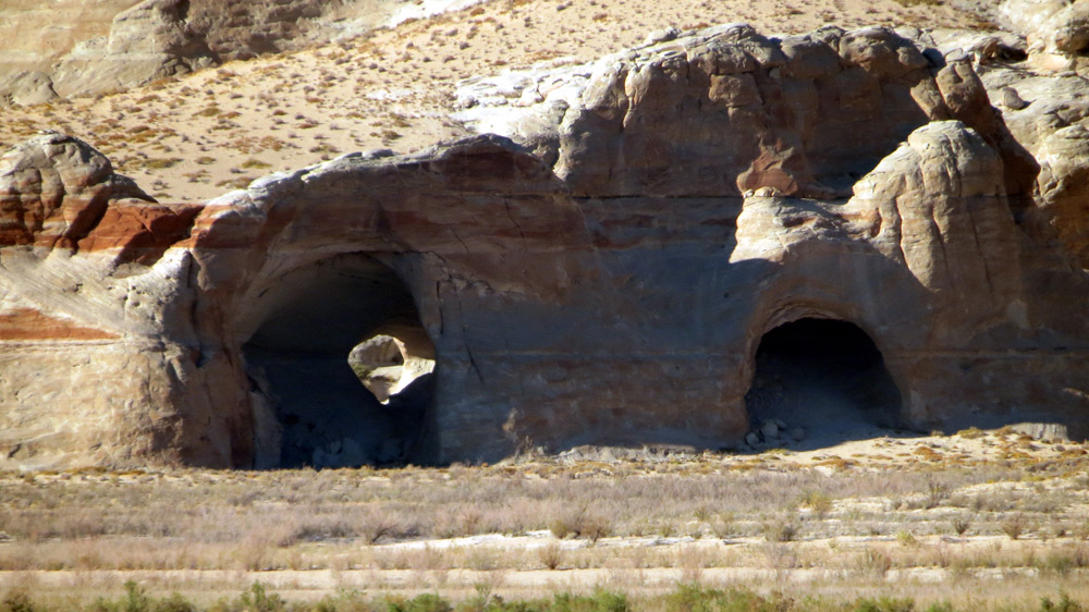
Wahweap Window Arch
Wahweap Window is a sandstone arch in the Wahweap Bay area, on the Utah side of the lake north of Wahweap Marina. It is listed as 7-1 in the Vreeland arch catalog. It is reached on foot over sand and slickrock; check a current route description and carry water.
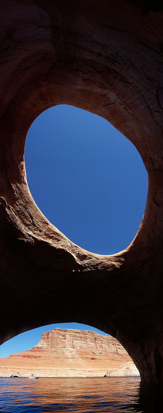
Rock Creek Bay Arch
An arch in Rock Creek Bay, the bay on the north side of the main channel near buoy 36 where Rock Creek, Middle Rock Creek and Dry Rock Creek canyons come in, a few miles downlake from Dangling Rope.
Keyhole Arch
Keyhole Arch is a large, oblong arch near Wetherill Canyon, a side canyon off the main channel at about mile 40, just downlake from Dangling Rope. Lake Powell mapmaker Stan Jones described reaching it by walking the right bank of Wetherill Canyon and climbing a talus slope. It is an off-trail scramble.
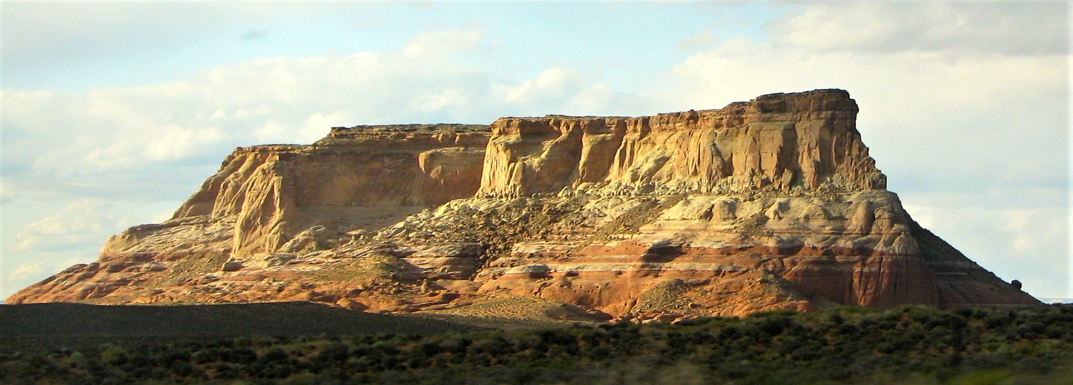
LeChee Rock
LeChee Rock is a 5,900-foot sandstone butte on Navajo Nation land about 9 miles east-southeast of Page, visible from AZ-98. It rises more than 900 feet above the surrounding desert; reddish Carmel Formation at its base gives it its name, with Entrada and Romana sandstones above and a cap of Morrison Formation. Don't hike or climb on it without Navajo Nation permission.
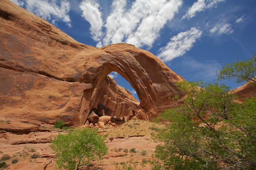
Broken Bow Arch
Broken Bow Arch spans about 94 feet in Willow Gulch, a side canyon of the Escalante arm. It is named for a broken prehistoric bow reportedly found beneath it. From the lake, boat up the Escalante arm into Willow Gulch and walk up the canyon; by land it is a hike from a trailhead off the Hole-in-the-Rock Road.
Dougs Cathedral
A rock formation known as Doug's Cathedral, on the main channel near Iceberg Canyon and the Rincon, around mile 77-78. It is seen from the water.
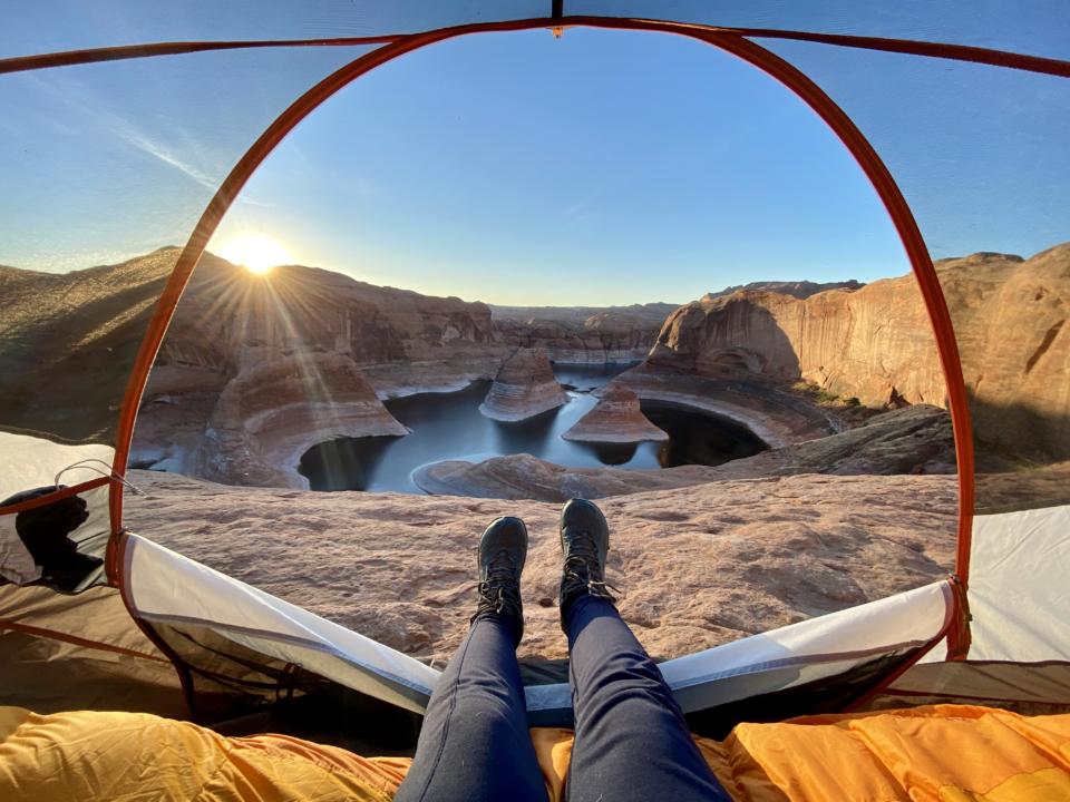
Reflection Canyon Arch
An arch in Reflection Canyon, the branching side canyon on the west side of the main channel at about mile 56, just downlake from the mouth of the San Juan arm. By boat you can explore its arms from the water; the famous overlook is reached by a long cross-country hike from the Hole-in-the-Rock Road.
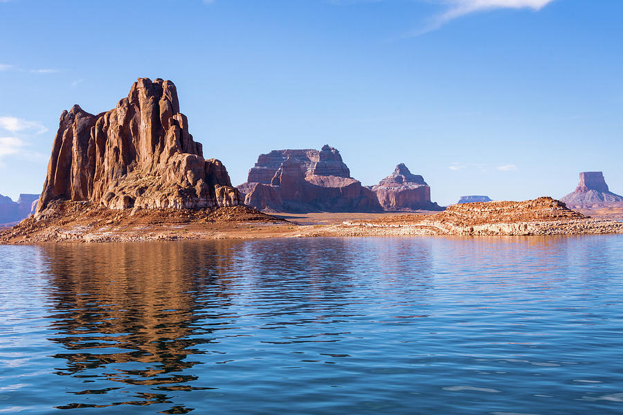
Padre Butte
Padres Butte is a 4,043-foot butte of Entrada Sandstone near the tip of Padre Point on the south side of Padre Bay. It marks the Crossing of the Fathers, where the Dominguez-Escalante expedition forded the Colorado in 1776 on sand bars about a mile to the west that are now under the lake. It was once an island; at lower lake levels it is joined to Padre Point.
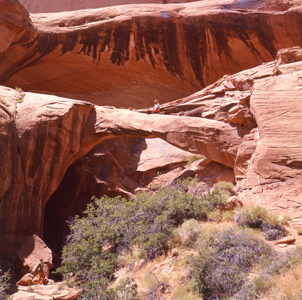
Zane Grey Arch, Ruins and Petroglyphs
Zane Grey Arch is in a cove in Explorer Canyon, a tributary of the Escalante arm of Lake Powell. It is number 6-13 in the Vreeland arch catalog. Reach Explorer Canyon by boat via the Escalante arm, which leaves the main channel at about mile 68.
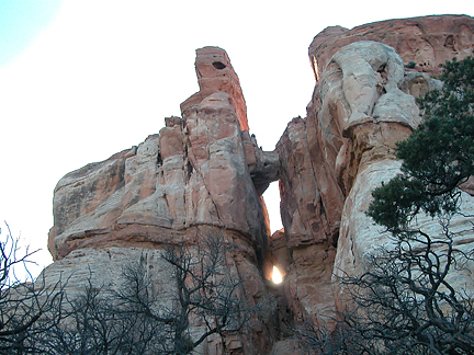
Rooster Arch
An arch above the main channel near the shared mouth of Bowns and Long canyons, around mile 74, between the Escalante arm and the Rincon. Look for it from the water.
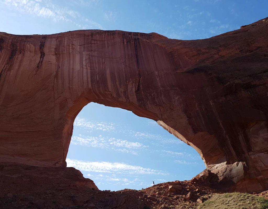
Stevens Arch
Stevens Arch is about 160 feet high with a span of roughly 220 feet. It stands high on the east wall of the Escalante River canyon at the mouth of Stevens Canyon, almost directly across from the mouth of Coyote Gulch near the upper end of the Escalante arm. It is visible from the canyon floor; reaching it means a steep scramble up the talus.
Fifty Mile Canyon Cave
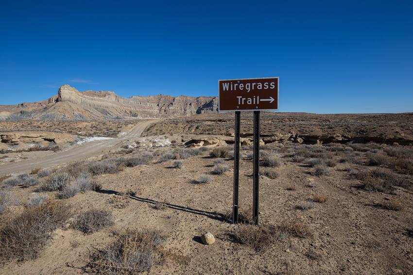
Wiregrass Canyon Arch
Wiregrass Canyon is a side drainage in Glen Canyon National Recreation Area near Big Water, Utah, that empties into Lake Powell in the Wahweap area. It is relatively easy to reach, and there is an arch along the way.
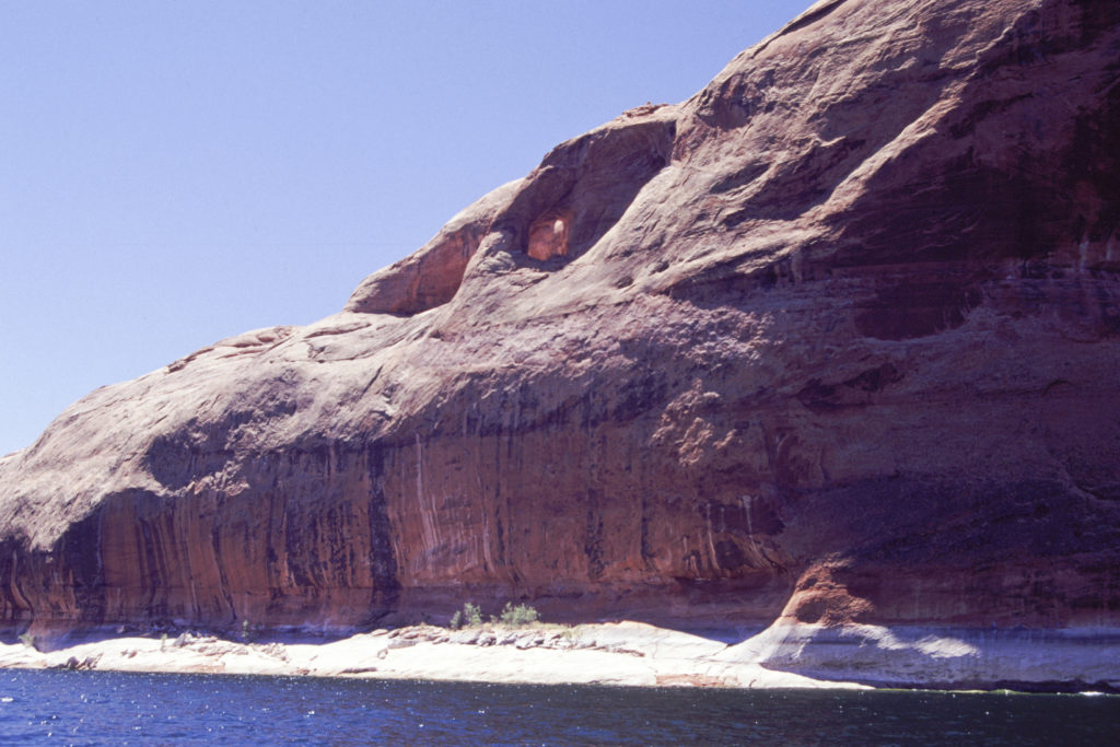
White Canyon Balanced Rocks
Balanced sandstone boulders on pedestals near the lower end of White Canyon, by Hite at the north end of the lake. Photograph them from a distance and don't climb on them.
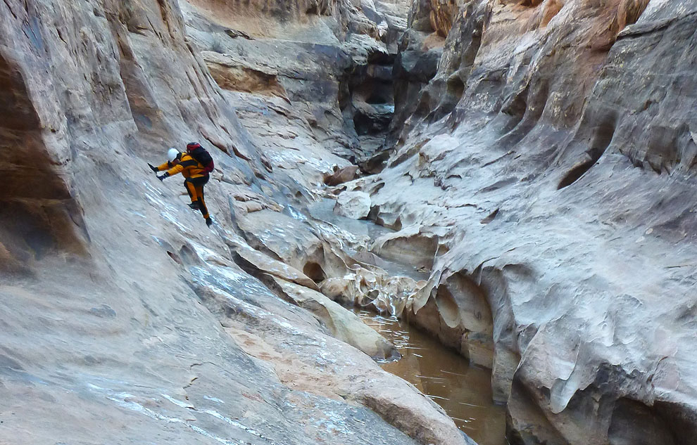
Black Hole
The Black Hole is a deep, dark stretch of narrows in White Canyon, upstream of the lake. It is reached from UT-95, from a large pullout on the north side of the highway near milepost 57, not from the water. Getting through means long swims in cold water (a wetsuit is needed most of the year), and the narrows are a serious flash-flood trap where people have died. Everyone in the group must be a confident swimmer.
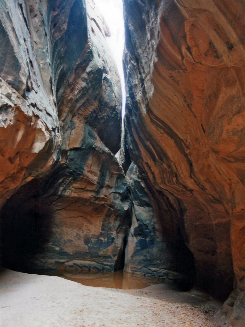
Smith Fork Cave
Smith Fork contains lengthy stretches of pretty narrows including one section that is especially deep and enclosed, plus several extremely tight tributaries. The canyon has a great wilderness setting, lying amidst an open expanse of rolling sandy desert beneath the tall peaks of the Little Rockies near Bullfrog Marina, though the immediate surroundings are slickrock domes and slopes made of the familiar Navajo sandstone. The lower end opens out into a cliff-bound, cottonwood-lined wash and eventually meets the lake after long patches of quicksand, mud and driftwood.
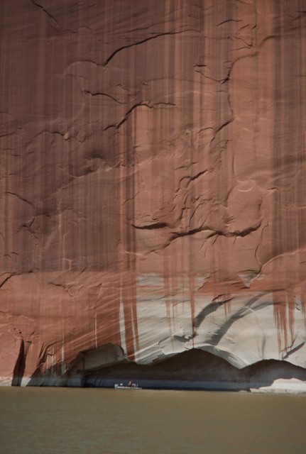
Tapestry Wall
Tapestry Wall is a tall sandstone cliff along the main channel near Warm Spring and Cedar canyons, around mile 110 uplake from Bullfrog. Dark streaks of desert varnish down its face give it the tapestry look. It is best seen from the water.
Powell's Profile
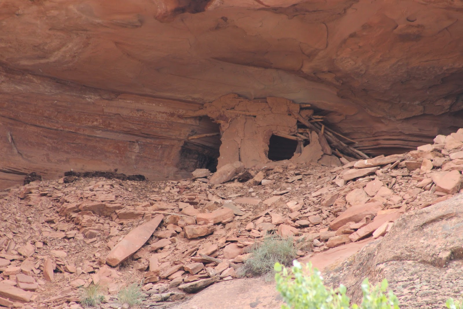
Escalante River Inlet Caves
Alcoves near the mouth of the Escalante arm, which leaves the main channel at about mile 68.
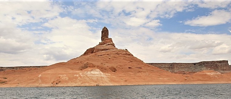
Cookie Jar Butte
Cookie Jar Butte is a short and steep hike that rewards with a scenic overlook of Padre Bay. There is not a marked trail, so hikers should be cautious and choose the safest direct route to the top.
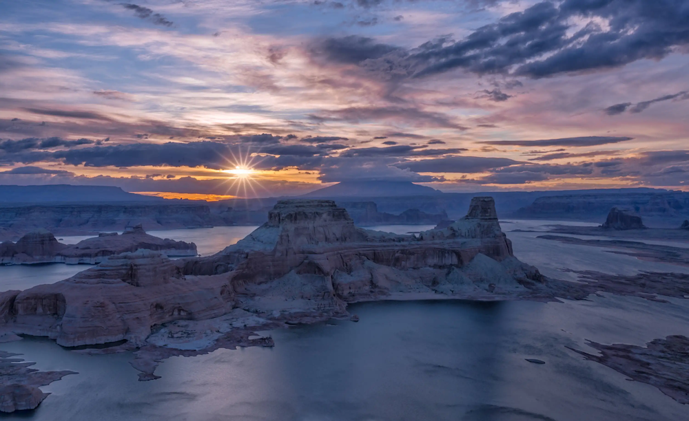
Alstrom Point
Alstrom Point is a popular photography spot above Lake Powell, with wide views over the lake. The route to the point is rated 3 out of 10 in difficulty, and a high clearance vehicle is recommended. It is suggested to allow at least two hours to get to the point from Page. Use caution, especially for the last two miles over slickrock. Alstrom Point is best shot at sunset or sunrise, with the former being recommended 1-2 days before the full moon. Camping overnight is a great option for maximizing time and avoiding getting lost when driving out at sunset.
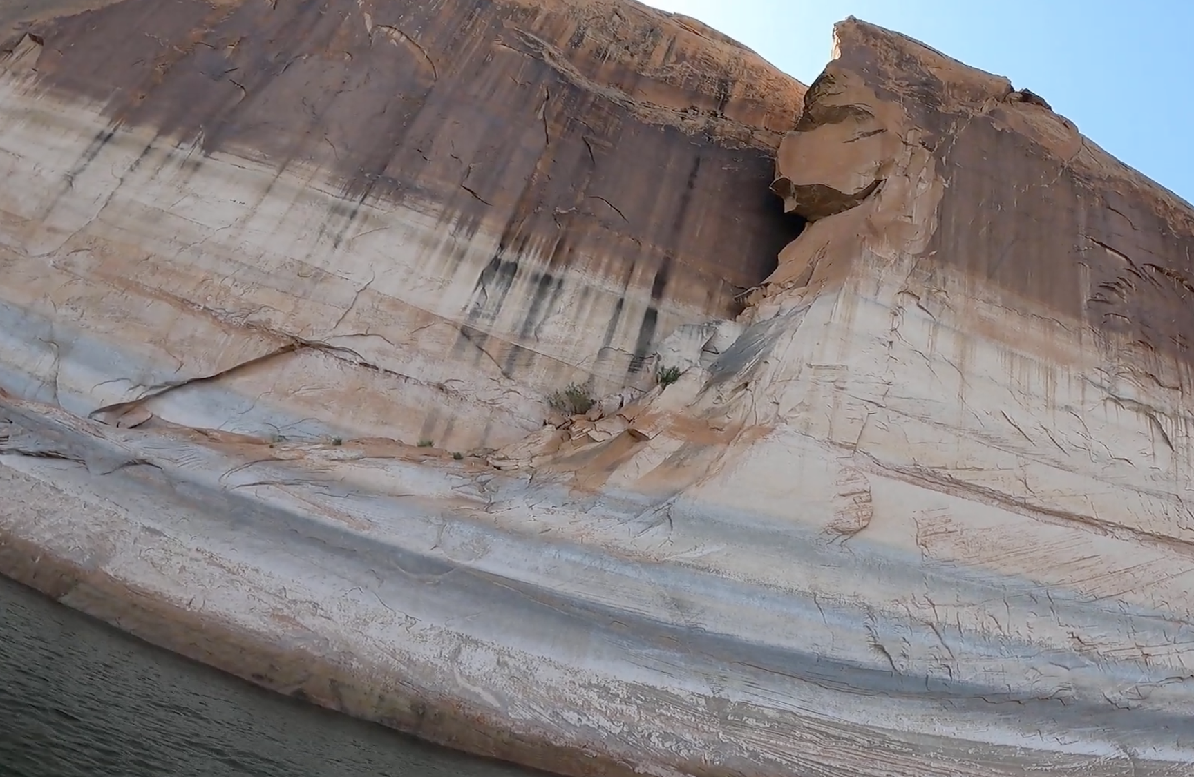
The Crevasse
A narrow slot in Forgotten Canyon, formed where a slab of sandstone split away from the canyon wall. Forgotten Canyon opens off the east side of the main channel at about mile 106, roughly a dozen miles uplake from Bullfrog and Halls Crossing. It can only be reached by boat.