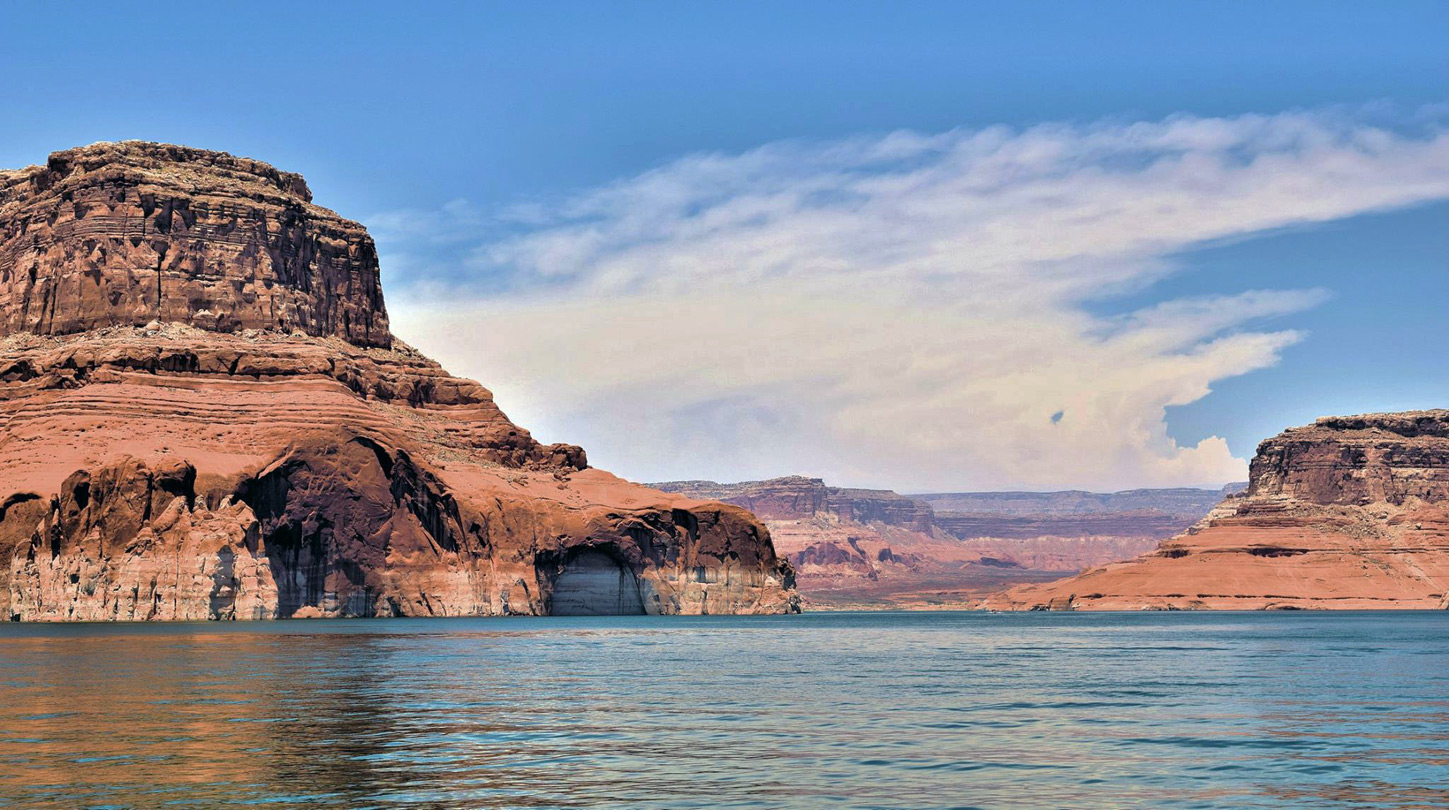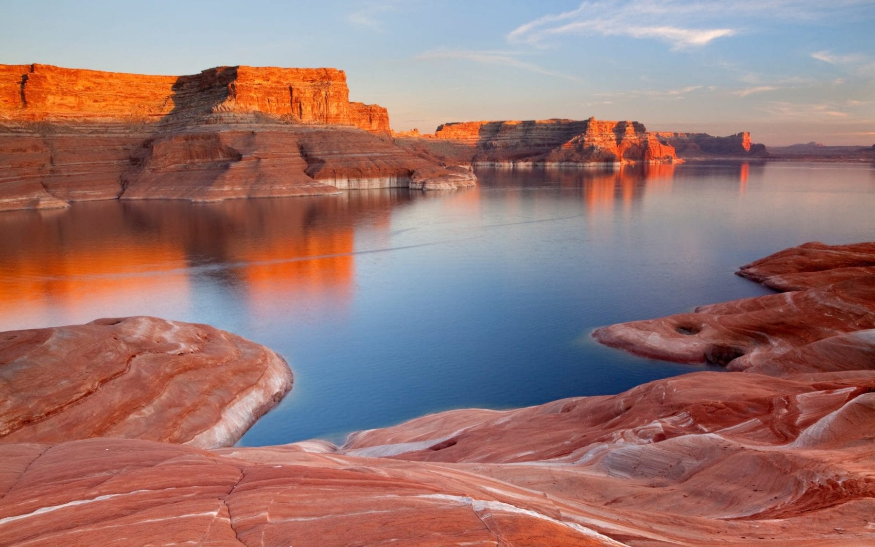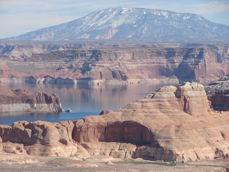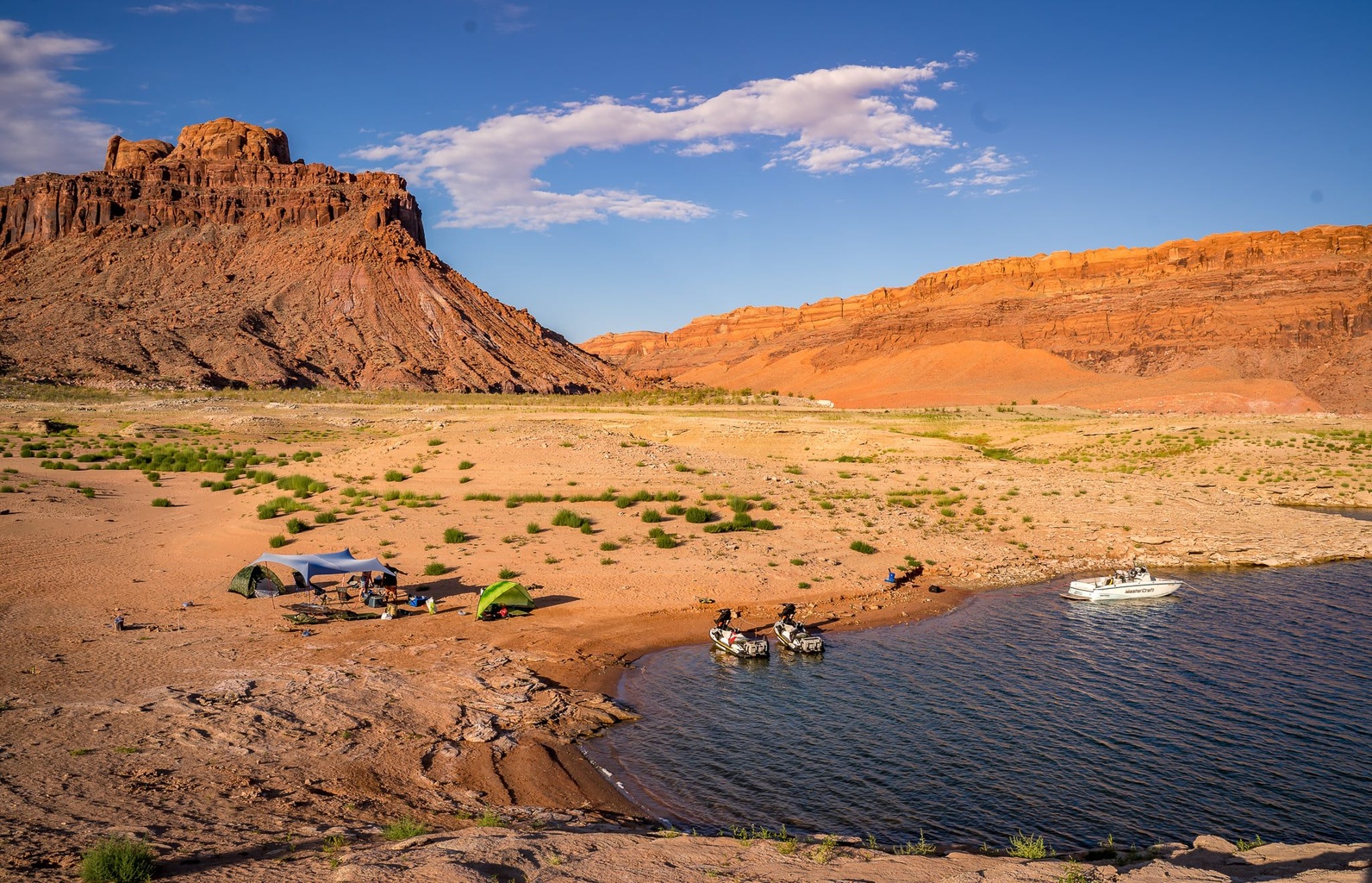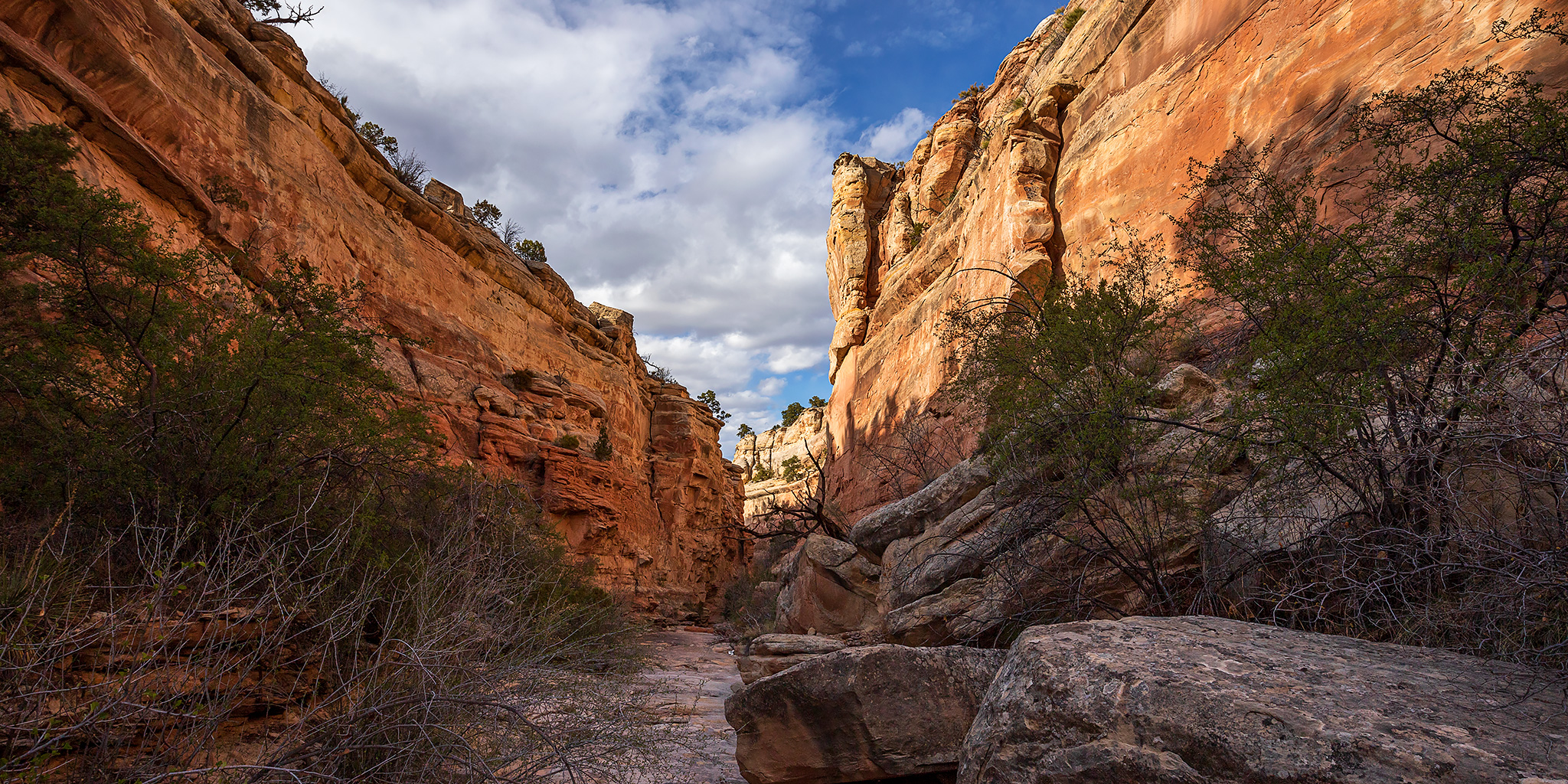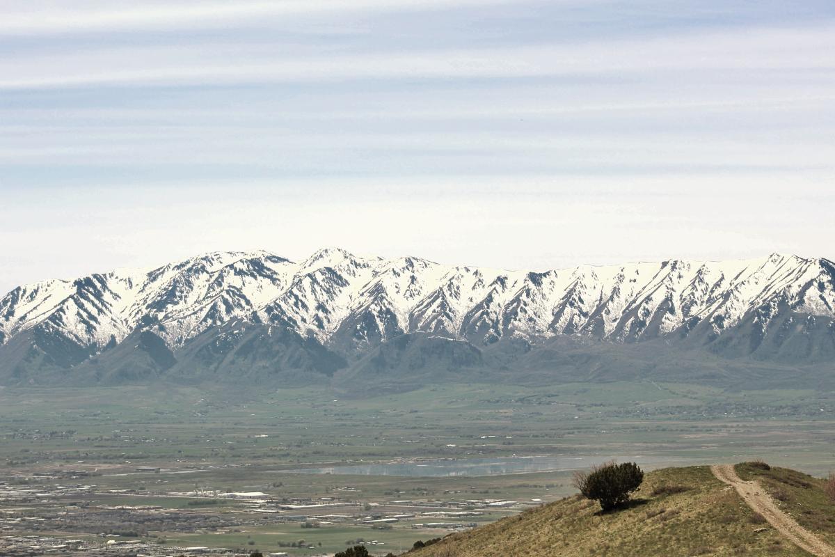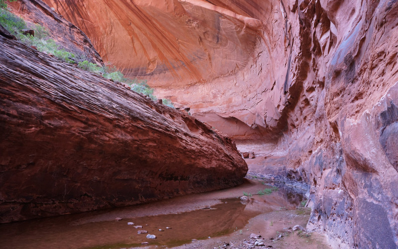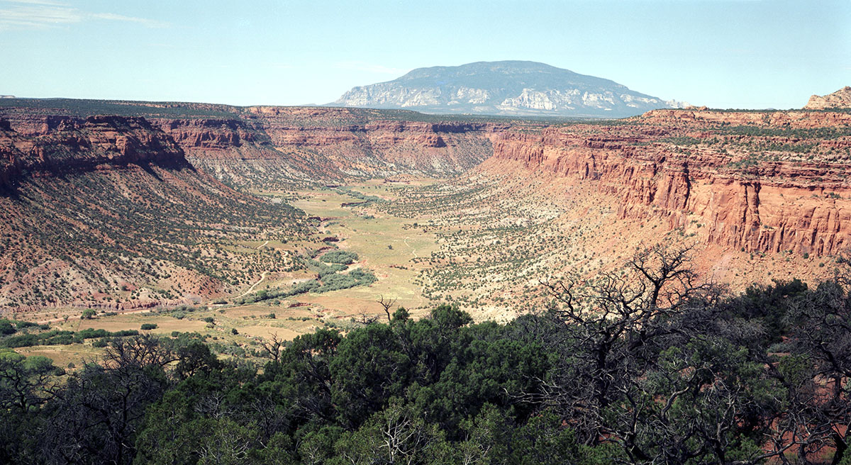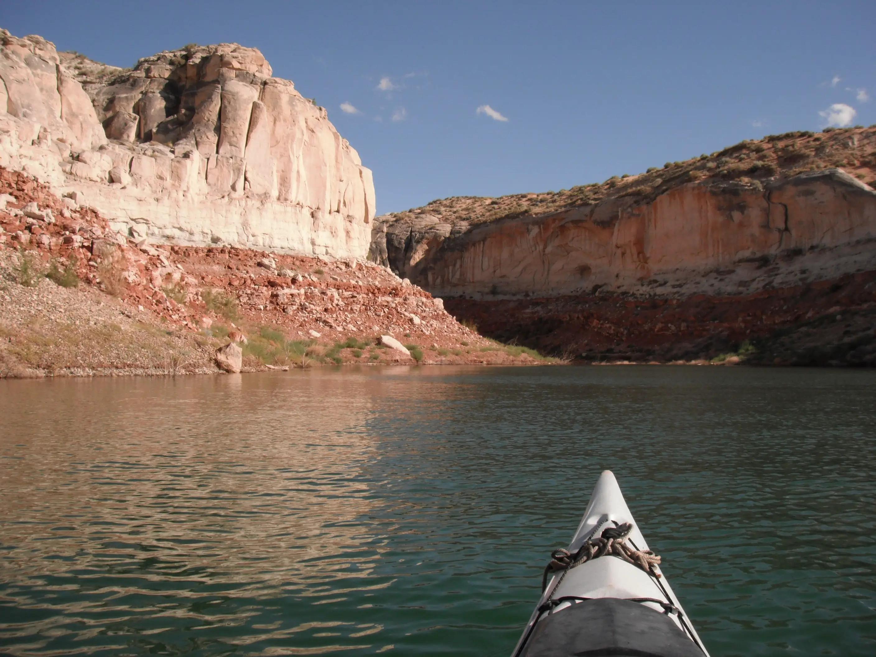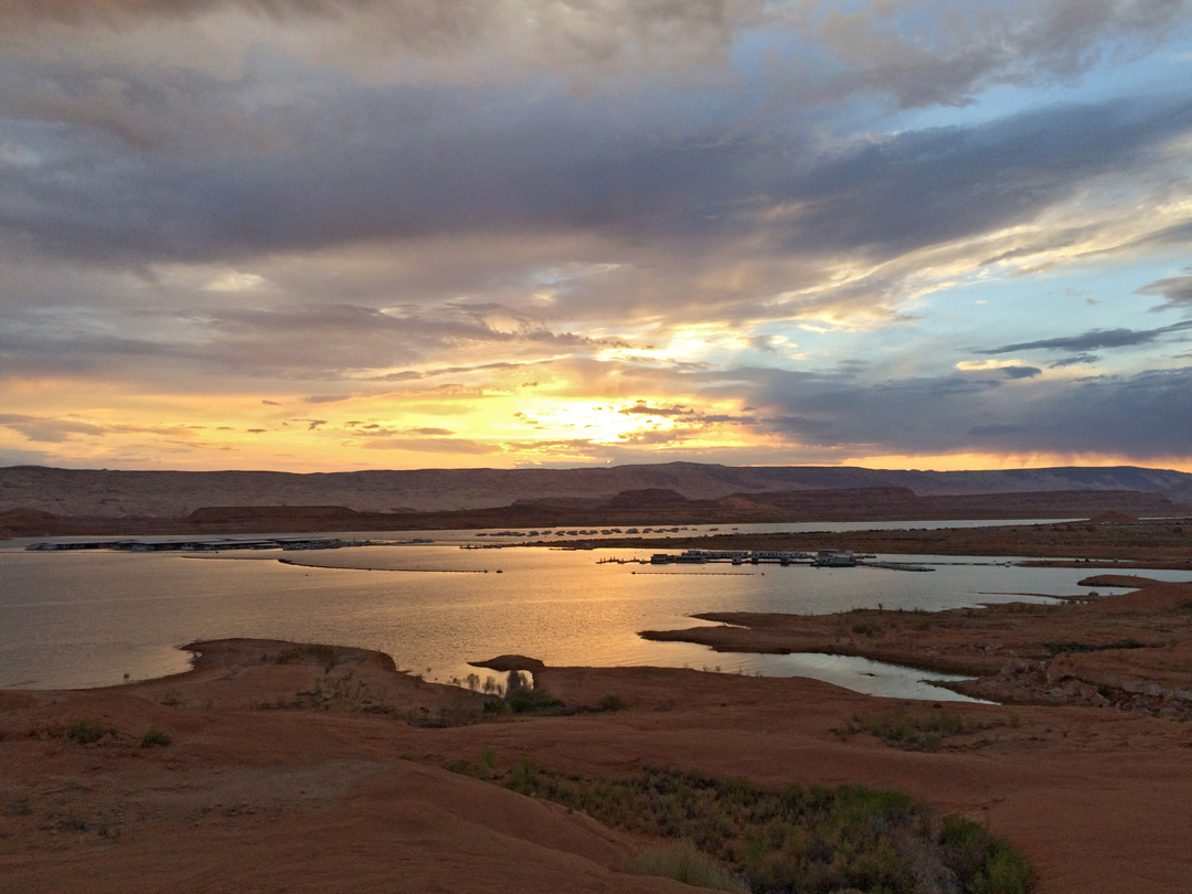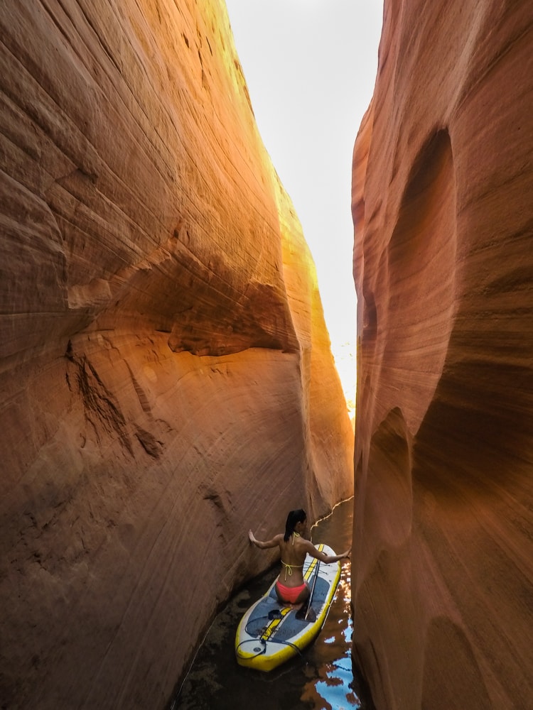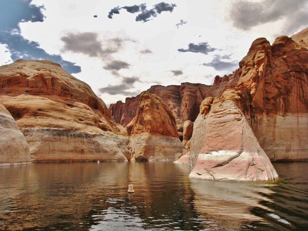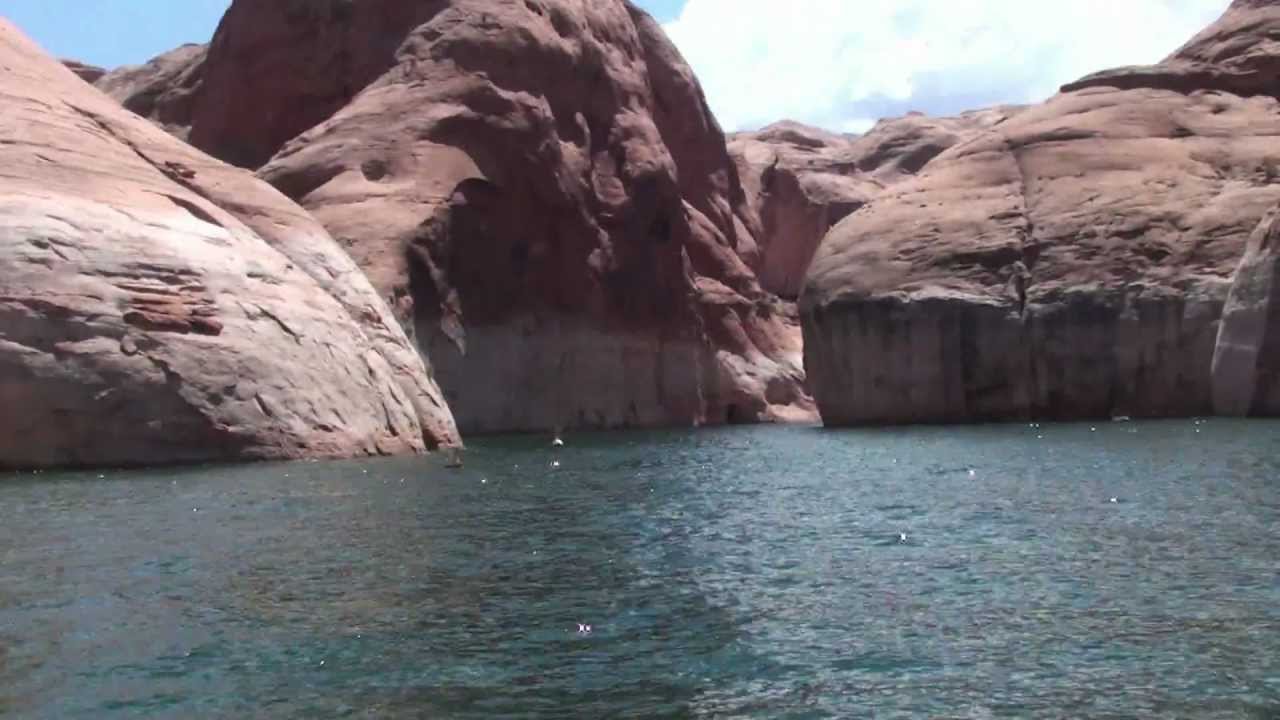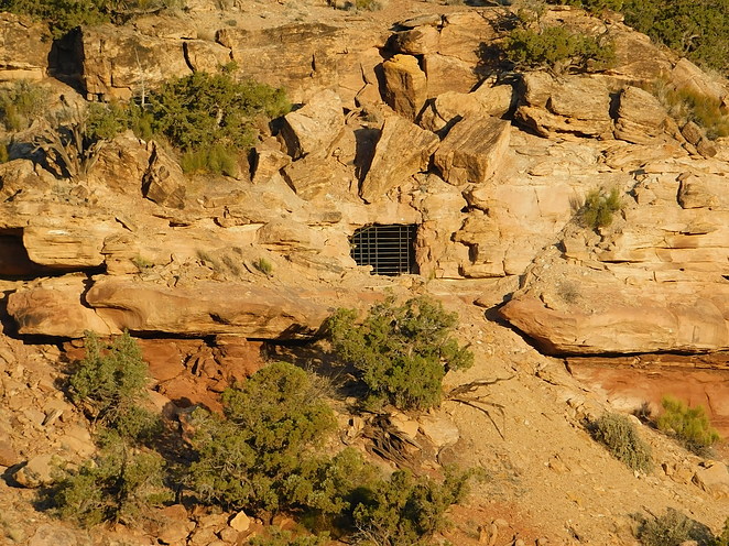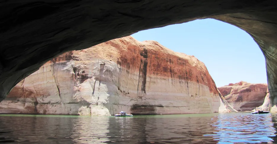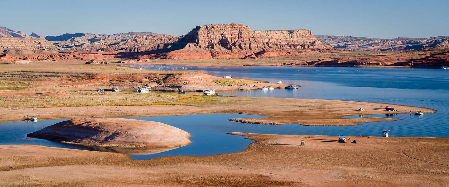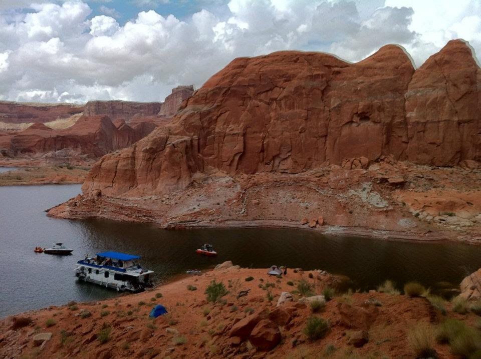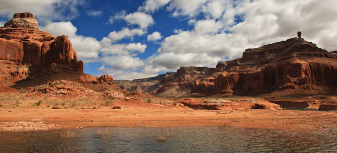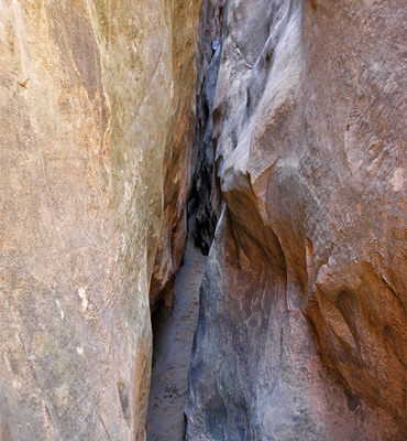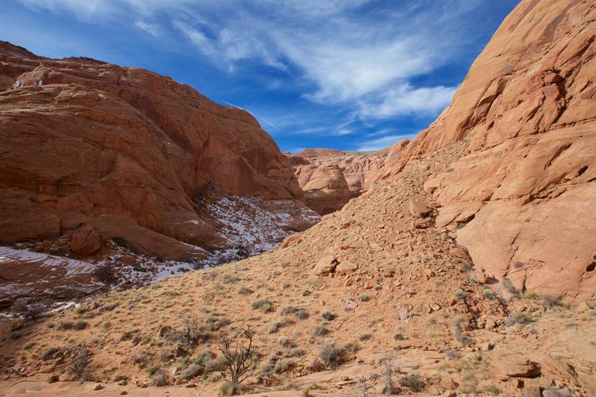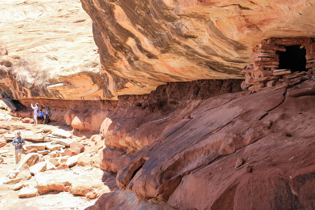
115 side canyons and bays, from Wahweap Bay and Padre Bay to Labyrinth, Face, West and Navajo canyons and Last Chance Bay. The water level changes how far into each one you can go.
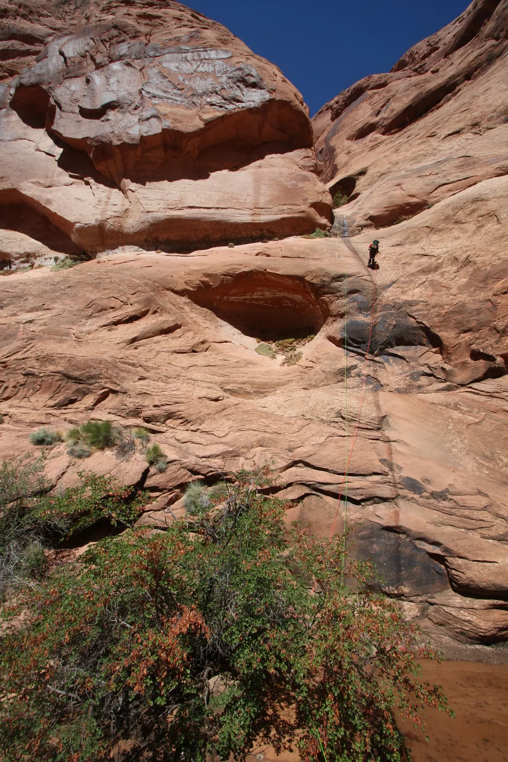
Lone Rock Canyon is a side canyon on the Utah side of Wahweap Bay. From Lone Rock Beach, paddle about two miles north past Lone Rock to its mouth. Its east fork is a slot with one or two very short rappels, and the main arm has quieter camping than the beach.
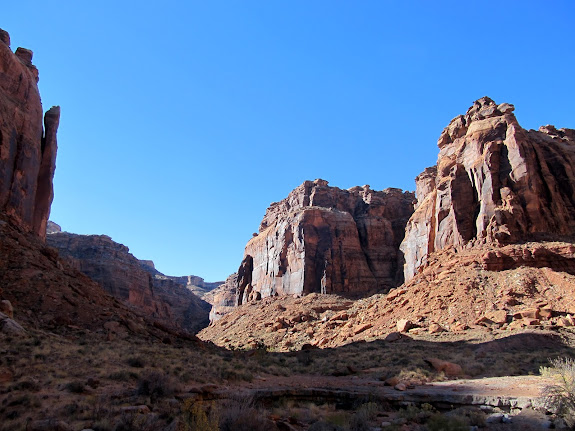
Fourmile Canyon is a side canyon in the upper lake at about mile 132, roughly seven miles below Hite, across from the formation called The Horn. It has several good campsites.
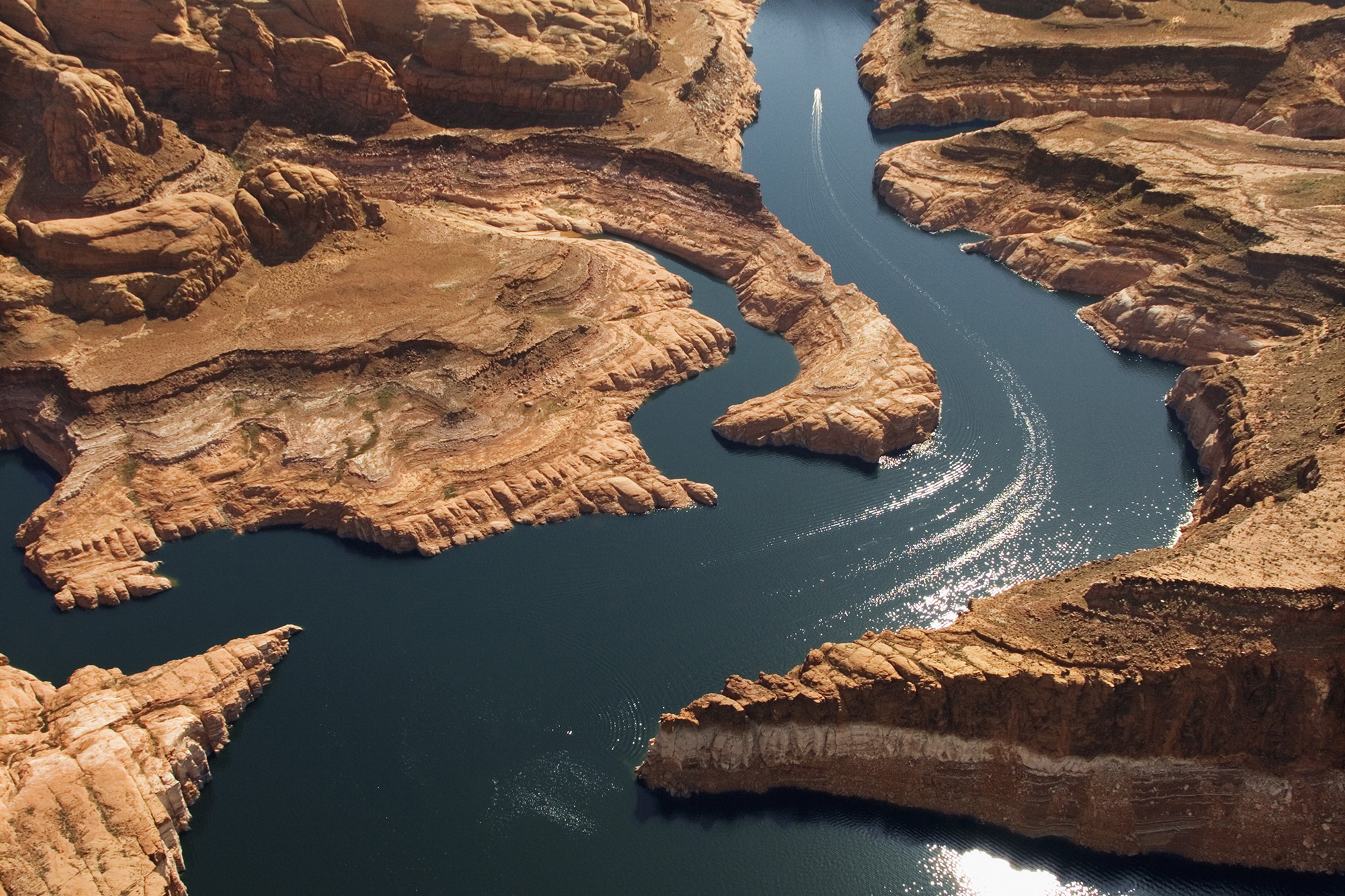
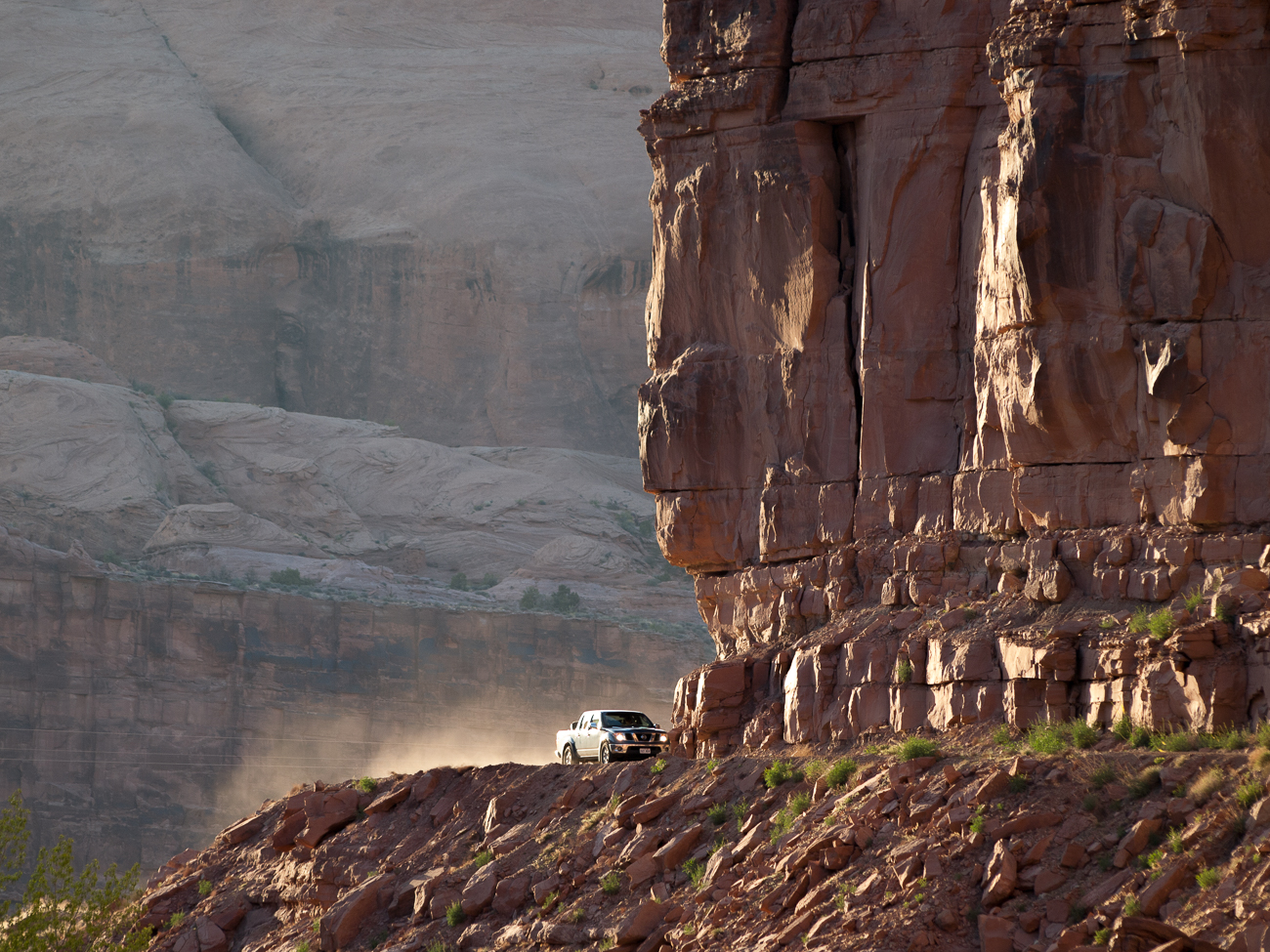
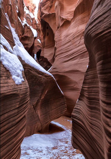
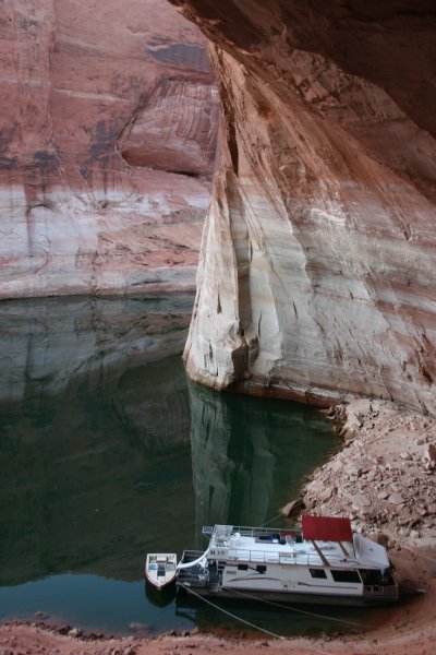
Face Canyon opens off the main channel about 22 miles uplake from Glen Canyon Dam. Its wide mouth has sandy coves suited to camping or tying up a houseboat, and its side branches are good to explore by kayak. A shallow slot at the back changes length with the lake level.
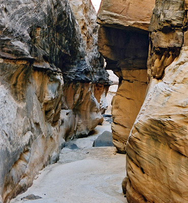
Boater notes (2026): two short slot canyons with swimming holes, one at the very back and one on the left side about a quarter of the way in. An easy walk for any age.
Last Chance Bay is a long bay on the Utah side of Lake Powell, west of Padre Bay, known for red rock cliffs, quiet coves and sandy beaches. It's remote, so bring plenty of water, food and fuel, and leave no trace.
Boater notes (2026): very deep, soft mud at the back of the bay. It's easy to sink in and lose footwear.
Padre Bay, around mile 19, is the largest stretch of open water on Lake Powell. Gunsight Butte, Cookie Jar Butte and Padres Butte rise from its shores. It is named for the Dominguez-Escalante expedition, whose 1776 river crossing, the Crossing of the Fathers, now lies under the bay near Padres Butte. With so much open water it can get rough when the wind picks up.
Boater notes (2026): a sunken 27-ft boat lies in the last cove on the upstream side of Padre Bay (reported to NPS). Watch your depth there.
Dangling Rope Canyon, at about mile 42, was the site of Dangling Rope Marina, the boat-in fuel and service stop between Wahweap and Bullfrog. The marina closed permanently in 2024, so there is no fuel or service mid-lake; there is no road access. Rainbow Bridge is about eight miles uplake.
Twilight Canyon is a narrow side canyon off the main channel between Forbidding Canyon and the mouth of the San Juan arm, near Oak and Secret canyons. Explore it slowly by boat or kayak.
Dungeon Canyon is a side canyon off the main channel at about buoy 38, a few miles downlake from Dangling Rope. Its narrow walls are the attraction, and there are Moqui steps (ancient carved hand-and-toe holds) in the canyon.
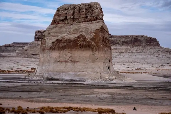
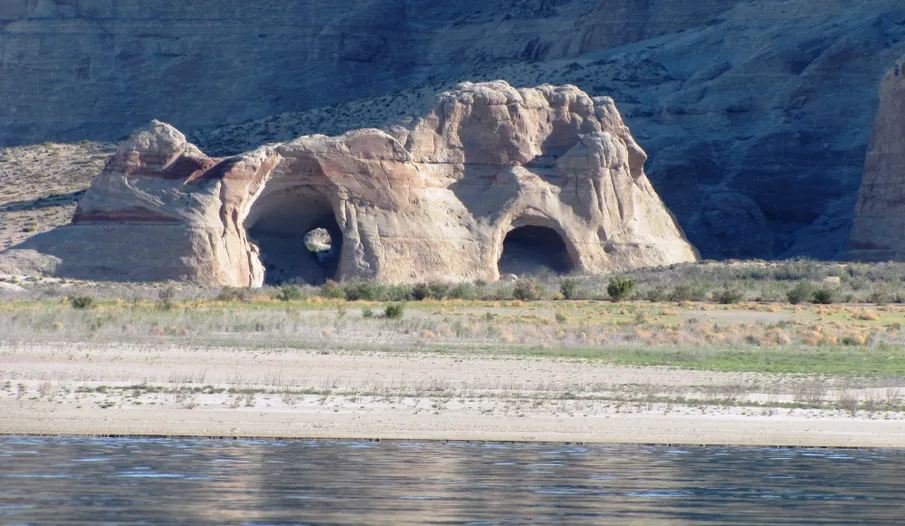
Lone Rock is a solitary sandstone butte in Wahweap Bay, in Kane County, Utah, less than 10 miles from Glen Canyon Dam. Lone Rock Beach, reached from US-89 between Page and Big Water, is one of the few places on the lake where you can drive to the water's edge and camp on the beach. Depending on lake level the rock is an island or stands on dry land.
Ice Cream Canyon is a short slot canyon in the Wahweap area, popular with kayakers and paddleboarders who launch from Lone Rock Beach or Wahweap. Paddle in until it narrows, then explore on foot.
Anasazi Canyon is a side canyon off the main channel between buoys 52 and 53, between Oak Canyon and the mouth of the San Juan arm. Before the lake it was called Mystery Canyon. Despite the name it has no known ruins or petroglyphs; the draw is a narrow, sculpted slot in the upper canyon.
Indian Creek is one of the side canyons near the mouth of the Escalante arm, which leaves the main channel at about mile 68. Expect towering red rock cliffs.
Hansen Creek is the first canyon on the west side of the lake uplake from Bullfrog, at about mile 104, across from Crystal Spring Canyon. It has lots of camping and is often busy.
Swett Creek drains the southeastern slopes of Mount Holmes in the Henry Mountains and flows into Lake Powell at the north end of Trachyte Bay. Its upper end splits into several small branches which cross UT 276 roughly half way between UT 95 and Bullfrog Marina.
Red Canyon is a side canyon in the upper lake at about mile 125, near Good Hope Bay and Blue Notch Canyon, roughly 30 miles uplake from Bullfrog. It has many good campsites near the water. Reach it by boat from Bullfrog or Hite.
The Dirty Devil River enters the upper lake at about mile 141, just above Hite, where Glen Canyon begins. UT-95 crosses it on a steel arch bridge near the mouth. Boats can reach the mouth only when the lake is high, and there is some camping there. Upstream, the river runs through a long, remote, roadless canyon.
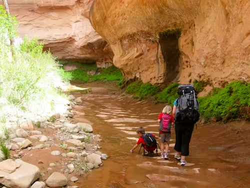
Fortymile Gulch joins Willow Gulch, a side canyon of the Escalante arm. Its sculpted walls form a narrow channel with clear pools; expect to wade, and you may need to swim with your pack overhead. It is often hiked as a loop with Willow Gulch from the Hole-in-the-Rock Road.
Cottonwood Canyon is on the east side of the main channel, across from Hole-in-the-Rock. After crossing the river in January 1880, the Hole-in-the-Rock pioneers hauled their wagons up this canyon toward Wilson Mesa, a climb so steep it took several teams per wagon. Boat into the mouth and explore on foot.
White Canyon enters the lake from the east at about mile 135, near Hite. UT-95 runs beside it for more than 30 miles; upstream are the narrows known as the Black Hole, and farther up the canyon passes through Natural Bridges National Monument. There is some camping near the lake, and the lower canyon can be reached by road.
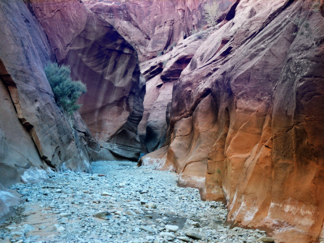
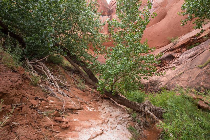
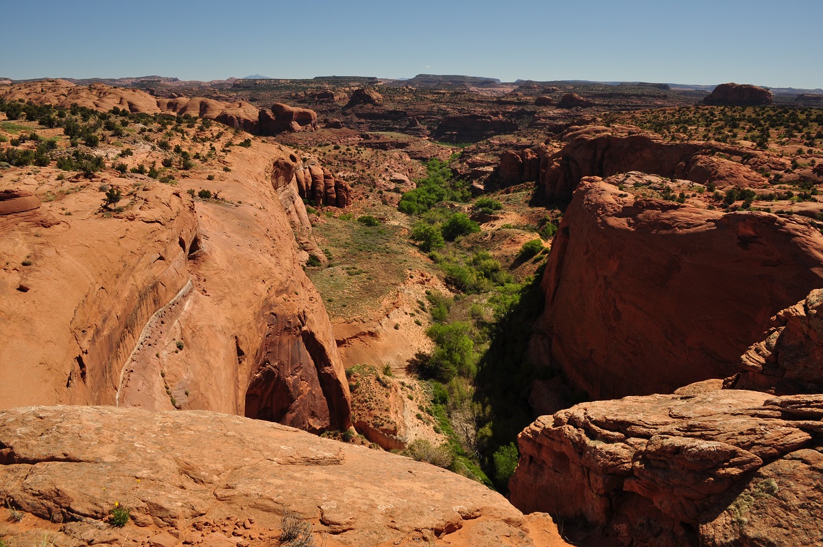
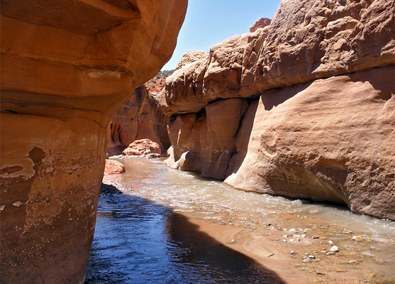
Llewellyn Gulch offers outstanding scenery. It starts as a sandy wash at the base of the 1,500 foot cliffs beneath Fiftymile Point and quickly deepens as it cuts down into the endless Navajo sandstone slickrock that extends eastwards to the shores of Lake Powell. For over a mile the gulch is very narrow and twisting, with pretty, light orange-colored stone passageways that eventually widen somewhat as a clear stream begins to flow then gradually opens out into an impressive sheer, red-walled gorge that ends at the aquamarine waters of the lake.
Cow Canyon is a side canyon in the upper part of the Escalante arm, above Fence and Explorer canyons. How far you can boat toward it depends on the lake level.
Gunsight Bay is about 19 miles uplake from Wahweap, off the north side of the lower lake near Gunsight Butte; boaters reach it through the Sand Hills channel. The Sand Hills beaches and the Frisbee Islands are popular for camping. At high water a narrow passage at the north end connects Gunsight Bay with Padre Bay.
Mountain Sheep Canyon opens off the main channel at about buoy 44, a couple of miles uplake from Dangling Rope. Explore it by boat or kayak, then walk up the canyon floor where the water ends.
A sandstone butte south of the main channel near Cathedral and Driftwood canyons, in the stretch between Dangling Rope and Rainbow Bridge. It is a landmark seen from the water.
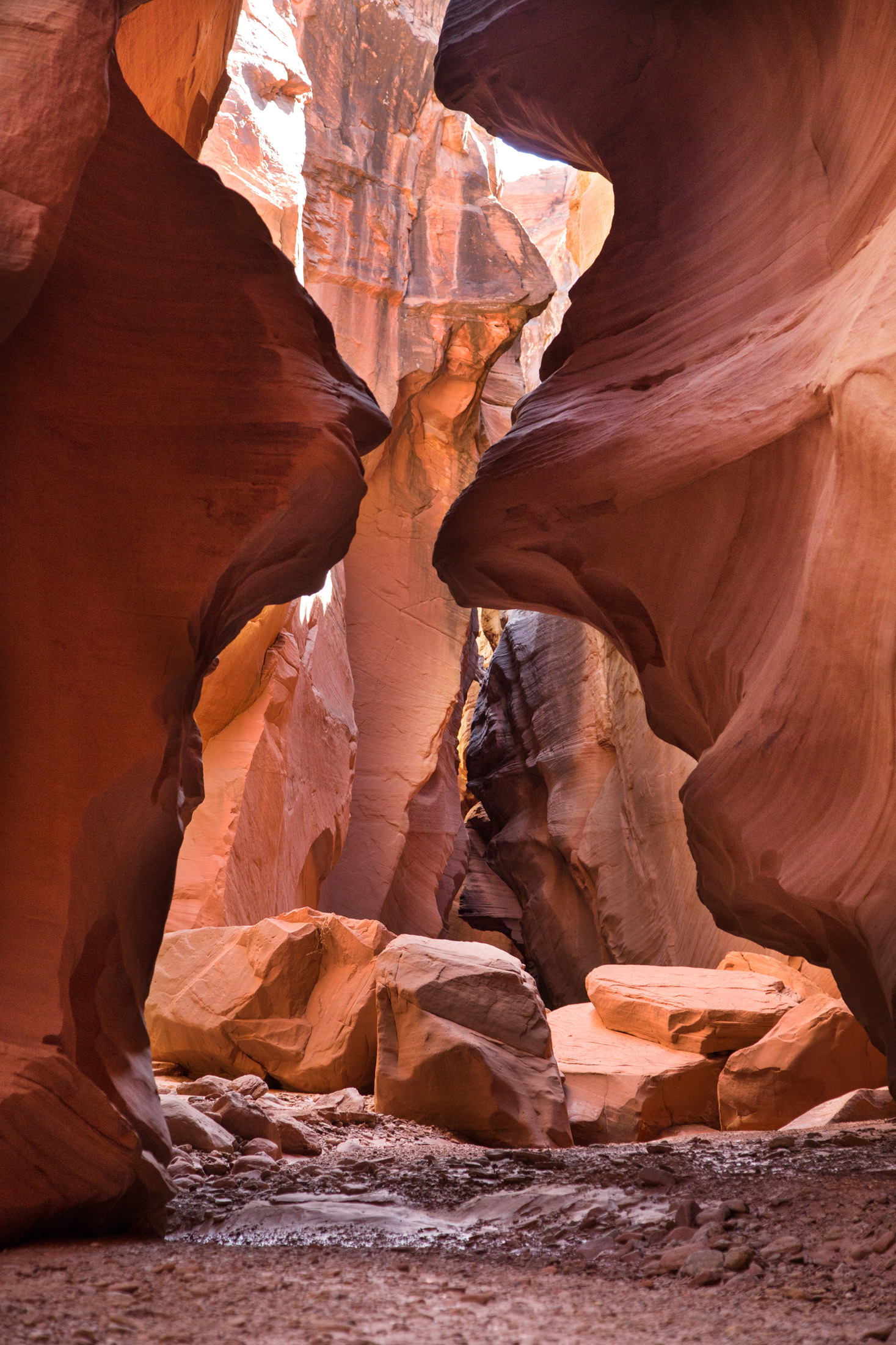
Smith Fork Canyon has long sections of beautiful narrows, and several interesting side canyons. Combining relatively easy access, outstanding panoramas, narrows, and fantastic primitive camping, this is a good adventure for those with competent leadership, and highly recommended.
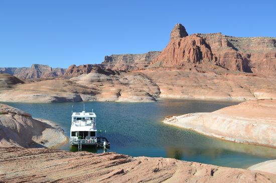
Warm Creek Bay is a wide bay on the south end of Lake Powell, a short run from Wahweap and Antelope Point. It's a popular overnight for houseboats and day boats, with beaches, swimming, and fishing for striped and smallmouth bass.
Boater notes (Sept 2026, lake ~3,520 ft): boaters reported rocks in the middle of the bay and shallow spots on the approach; stay mid-channel. The lake has since risen about 12 ft, so some of those rocks are now just under the surface. Castle Rock Cut, the shortcut from Wahweap Bay, is closed.
Bowns Canyon shares its mouth with Long Canyon on the main channel at about mile 74, uplake from the Escalante arm; inside, Bowns is the left fork and Long Canyon the right. It is named for Will Bowns, a cattleman who grazed stock here in the early 1900s. Its best-known feature is Bechan Cave, an alcove about 50 feet above the canyon floor that holds Ice Age dung deposits. There are no camping areas.
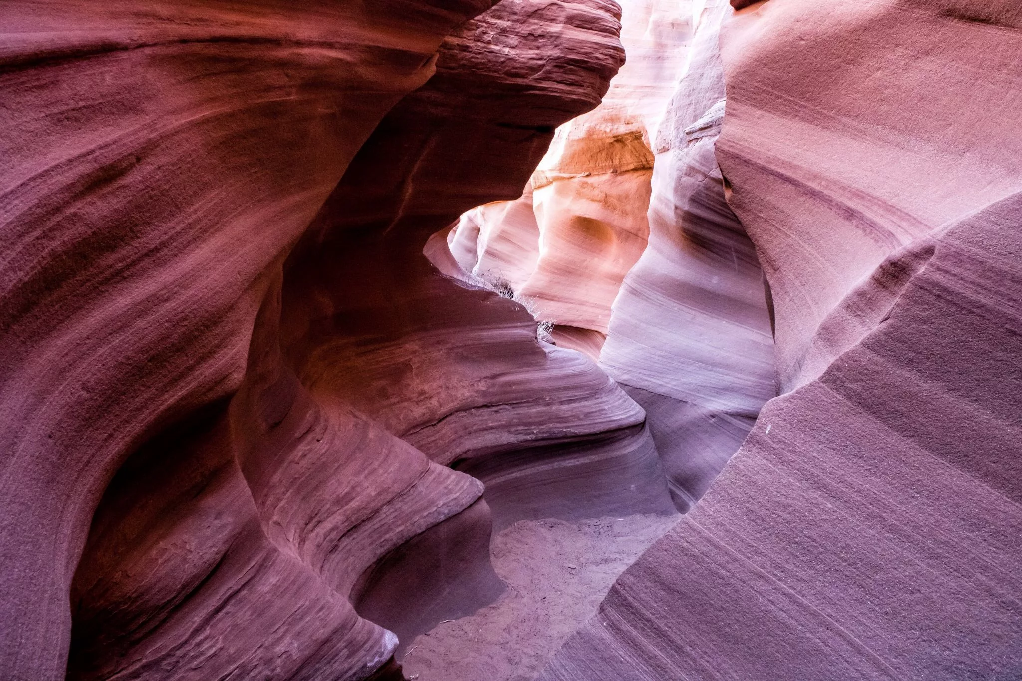
The lower end of Antelope Canyon is a narrow side canyon on the south side of Lake Powell, a few miles uplake from Glen Canyon Dam near Antelope Point. Boats can motor in until the canyon narrows, and you can walk a short way beyond the water, but you can't reach the famous slot sections from the lake. Upper and Lower Antelope Canyon are on Navajo Nation land near Page and can only be visited on tours with Navajo-authorized guides.
Davis Gulch is a narrow side canyon of the Escalante arm. Bement Arch (about 118 feet across) is in the upper canyon, and La Gorce Arch is lower down. Artist Everett Ruess was last known to be here in 1934; searchers found his burros and a 'NEMO 1934' inscription in the gulch. By land it is reached from the lower Hole-in-the-Rock Road.
Forbidding Canyon leaves the main channel at about mile 49-50, roughly halfway between Wahweap and Bullfrog. A short way in, Bridge Canyon branches off to Rainbow Bridge National Monument, where boats tie up at the courtesy dock. The main Forbidding Canyon continues south toward Navajo Mountain onto Navajo Nation land. The canyon is narrow and busy with tour and private boats, so go slowly.
Music Temple was a domed alcove in a side canyon near the mouth of the San Juan arm, named by John Wesley Powell in 1869 for its echo. Powell's crews carved their names on its walls in 1869 and 1871. The alcove and inscriptions have been under Lake Powell since the 1960s; the visitor register once kept there is preserved in a university library.
Cha Canyon is a narrow side canyon on the south side of the San Juan arm, one of the first canyons past the arm's mouth at about mile 57. A small stream keeps it green, and it has narrows, small waterfalls and rock art. The land is Navajo Nation, so hiking up the canyon requires a Navajo Nation backcountry permit.
Clear Creek is a narrow side canyon a short way up the Escalante arm, which leaves the main channel at about mile 68. At its head is Cathedral in the Desert, a tall alcove with a waterfall that is underwater when the lake is high and reappears when the lake drops below about 3,605 feet. Go slowly in the narrows and watch for other boats.
Warm Springs Loop is a fun moderate route for experienced canyoneers located on Lake Powell. The canyon is not accessible from the lake and must be reached by four wheel drive. The name Warm Springs was given to the canyon by early prospectors.
Twomile Canyon is a small side canyon in the upper lake at about mile 134, near the mouth of Trachyte Creek and a few miles below Hite. It has no good campsites.
Willow Gulch is a side canyon of the Escalante arm. Walking up from the lake leads to Broken Bow Arch, which spans about 94 feet, and Fortymile Gulch joins it above the arch. By land, the hike starts from a trailhead off the Hole-in-the-Rock Road.
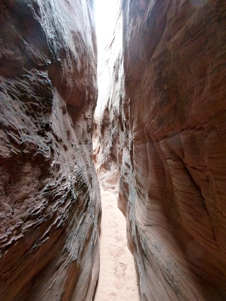
Secret Canyon is a very narrow, deep side canyon at the mouth of Oak Canyon, between buoys 50 and 51, just uplake from Forbidding Canyon (Rainbow Bridge). In places the walls nearly touch, so enter slowly in a small boat or kayak.
Forgotten Canyon opens off the east side of the main channel at about mile 106, roughly a dozen miles uplake from Bullfrog and Halls Crossing. About three miles up the canyon is Defiance House, an Ancestral Puebloan cliff dwelling that the National Park Service has stabilized. The canyon has good camping.
Dark Canyon enters the Colorado from the south at about mile 154, near the lower end of Cataract Canyon upstream of Hite. It is a long, roadless wilderness canyon. Boat access to its mouth depends on the lake level, floating driftwood can make boating difficult, and there is little or no camping at the mouth.
Slick Rock Canyon is on the east side of the main channel at about mile 81, between Lake Canyon and Iceberg Canyon. It is about a mile long, depending on lake level, with some sand and talus campsites. Before the lake rose it held many Ancestral Puebloan ruins and petroglyphs, and a restored alcove ruin can still be reached on foot up the canyon.
Navajo Creek runs through Navajo Canyon on Navajo Nation land and enters Lake Powell near buoy 10, uplake from Antelope Point Marina. Navajo Canyon is the longest side canyon on the lake that is not a river arm. Hiking or camping away from the lake requires a Navajo Nation permit.
The canyon is perfect for swimming, fishing, or finding a secluded place to beat the crowds. Crystal Springs Canyon is a Canyon accessible by boat from Lake Powell. This canyon is southwest of Forgotten Canyon and Lone Pine Canyon and is Northwest of North Gulch.
Mille Crag Bend is a sharp bend of the Colorado River at the foot of Cataract Canyon, where Narrow Canyon begins, a few miles upstream of Hite. John Wesley Powell's 1869 expedition named it for the crags along the rim. When the lake is high this reach is part of Lake Powell; at lower levels it is river.
North Gulch is a steep side branch of Moki (Moqui) Canyon, the large canyon on the east side of the main channel at about mile 99, just uplake from Halls Crossing. It has Ancestral Puebloan ruins and petroglyphs, some reached by a steep climb. Leave walls and artifacts untouched.
Farley Canyon is a narrow side canyon just south of Hite, at about mile 135, with a primitive camping area reached by road from UT-95. Tall walls block the wind, so it is a calm spot for paddleboards and kayaks. When a sandbar blocks the mouth, motorboats can't get in.
Coyote Gulch enters the Escalante River from the west near the upper end of the Escalante arm, across from Stevens Arch. Going up the gulch you pass waterfalls, Coyote Natural Bridge and Jacob Hamblin Arch; most hikers come in from trailheads off the Hole-in-the-Rock Road. Overnight trips need a backcountry permit.
Willow Gulch is a side canyon of the Escalante arm. Walking up from the lake leads to Broken Bow Arch, about 94 feet across, and Fortymile Gulch joins it above the arch. By land, hikers start from a trailhead off the Hole-in-the-Rock Road.
Iceberg Canyon is a unique region of Lake Powell featuring a hike to Anasazi ruins and a natural dam. Iceberg Canyon is about three hours by boat from Bullfrog Marina. Iceberg Canyon is also directly adjacent to the Rincon, a major geologic formation. Iceberg Canyon is accessible from Buoy 79.
Fence Canyon is a side canyon in the upper part of the Escalante arm, between Explorer and Cow canyons. How far you can boat toward it depends on the lake level.
Trachyte Creek has around 20 significant tributary canyons, all quite deeply incised into a big area of exposed Navajo sandstone extending south from Trachyte Point. The main gorge is mostly quite wide, containing a permanent stream flowing past sandbanks bearing trees and bushes, but its upper part has a few quite pretty sections where the waters form cascades, waterfalls and curving channels, as the canyon becomes temporarily vertical walled and moderately narrow.
The Rincon is an entrenched and abandoned meander, or loop, of the Colorado River. Scientists believe it formed several thousand years ago when the river cut straight across the ends of the loop.
Ribbon Canyon is a side canyon on the east side of the main channel, roughly across from Hole-in-the-Rock (about buoy 66). Boat to where the water ends and explore on foot.
Padre Canyon is a side canyon off the north side of Padre Bay, around mile 19. It is reached by boat from Wahweap across the open water of Padre Bay, which can get rough in wind.
Deep Canyon is a side canyon on the south side of the San Juan arm, roughly 20 miles up the arm from its mouth. Beverly Arch is in one of its side canyons, and the Rim (Peekaboo) Arches are on the cliff just uplake. The land south of the arm is Navajo Nation, so hiking there requires a Navajo Nation backcountry permit.
Stevens Canyon is a classic Escalante drainage which remains relatively infrequently visited thanks to its remote location. With no major obstacles, Stevens makes for a great backpacking destination. Combined with the historical Baker Route, it makes for a great “connector” for longer hikes and is becoming a popular alternate for hikers on the Hayduke Trail looking to avoid the long tedious segment along the Escalante River.
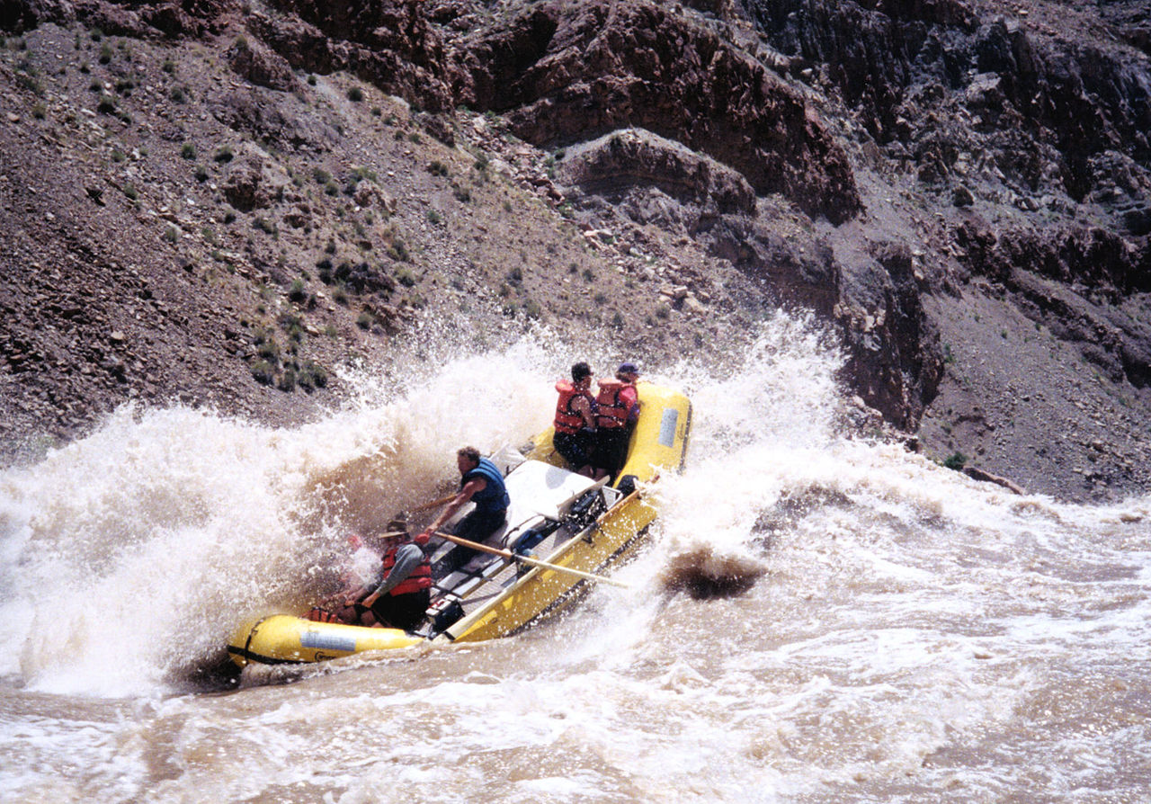
Cataract Canyon is the whitewater stretch of the Colorado River below its confluence with the Green River in Canyonlands National Park. Its lower end is in Glen Canyon NRA, where Lake Powell backs into it when the lake is high. River trips through Cataract usually take out near Hite. Above about mile 165, boaters need a backcountry permit from Canyonlands National Park.
North Wash Canyon is a scenic canyon located in southern Utah, USA, near Lake Powell and the town of Hanksville. The canyon is known for its colorful sandstone formations, towering cliffs, and narrow slot canyons, making it a popular destination for hiking and canyoneering.
Sheep Canyon is a side canyon at the far upper end of the lake, at about mile 148, just upstream of Mille Crag Bend near the foot of Cataract Canyon. There is some camping near its mouth. Whether you can reach it by boat depends on the lake level.
Ticaboo Canyon enters the upper lake around mile 122, about 27 miles uplake from Bullfrog, and has many campsites near its mouth. Upstream, UT-276 crosses Ticaboo Creek near the small town of Ticaboo, and the creek's South Fork has slot sections popular with hikers. Flash floods are a risk in all of these drainages.
Annies Canyon is near mile 83 on the southwest side of the lake. There are a few small branches off this canyon but it is small compared to some of its neighbors.
Piute Canyon is a long side canyon that enters the San Juan arm from the south, in the Great Bend section of the arm. It drains Navajo Nation land east of Navajo Mountain, so hiking up it requires a Navajo Nation backcountry permit.
Wahweap Bay is the broad bay at the southwest end of Lake Powell, just upstream of Glen Canyon Dam and straddling the Utah-Arizona line. Wahweap Marina, Lake Powell Resort, the Stateline launch ramp and Lone Rock Beach are on its shores. When the lake is high enough, the Castle Rock Cut links it to Warm Creek Bay and saves about 10-12 miles going uplake; otherwise boats go around through the main channel.
Bullfrog Bay is the large bay at Bullfrog on the Utah side of the upper lake, home to Bullfrog's lodging, store, gas station and campground. It's a jumping-off point for the Escalante and San Juan arms and the upper lake toward Hite.
Boater notes (2026): the marina, fuel and rentals have moved to deeper water at Halls Crossing. Launch at Bullfrog North (open at your own risk). Stanton Creek primitive camping is on the east side of the bay by a 4WD road; its primitive ramp isn't usable.
Labyrinth Canyon is a narrow, twisting slot off the lower lake, downlake of Padre Bay. Boaters usually anchor around mile 16 and take a kayak or small boat into the slot. A few feet of lake rise floods parts of it.
Boater notes (2026): don't leave your boat blocking the narrow channel while you hike; others need to get through.
West Canyon is a long, winding side canyon off Lake Powell's main channel on the Utah side, between Padre Bay and Rock Creek Bay. The lake portion is a scenic cruise with sheltered places to anchor, and its upper end narrows into slot canyon.
Boater notes (Sept 2026): river otters seen in West Canyon.
Explorer Canyon is a side canyon of the Escalante arm, upstream of Willow Gulch. Zane Grey Arch is in a cove in the canyon, and there are petroglyph panels. Explore by boat or kayak, then on foot where the water ends.
Middle Rock Creek is one of three canyons, with Rock Creek and Dry Rock Creek, that open off Rock Creek Bay near buoy 36, a few miles downlake from Dangling Rope. The canyons are sheltered from the wind and have beaches for camping and fishing.
Cathedral Canyon is a side canyon off the main channel near Driftwood Canyon, around mile 46, between Dangling Rope and Rainbow Bridge. Its high walls and narrow passages are the draw; boat in as far as the water allows and explore on foot.
Wetherill Canyon opens off the main channel at about mile 40, just downlake from Dangling Rope. Its slot section floods when the lake is high. Keyhole Arch is reached by walking the right bank and climbing a talus slope.
Old mines and prospects of the White Canyon mining district, near Hite and UT-95. The district was worked for copper and, mainly in the 1950s, uranium. Old shafts and adits can collapse and may hold bad air or radioactive material; don't enter them.
Lost Eden is a short, three-fingered side canyon about a mile downlake from Halls Crossing Marina, with sculpted walls and several very large alcoves. It is a no-wake area, which makes it popular with kayakers and paddleboarders. Getting there from the marinas means crossing the busy main channel, so watch for traffic and wind.
Wiregrass Canyon is one of many side canyons that drain into Lake Powell on the Colorado River. It is one of many drainages that flow into Lake Powell, and offers a fun moderate hike.
Hidden Passage is a narrow side canyon on the main channel near Music Temple, close to the mouth of the San Juan arm. Its entrance is easy to miss from the water. Explore it slowly by boat, then on foot.
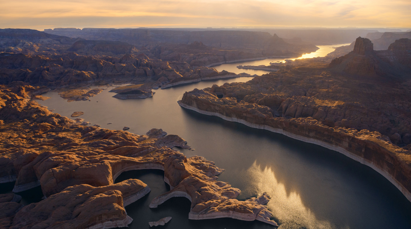
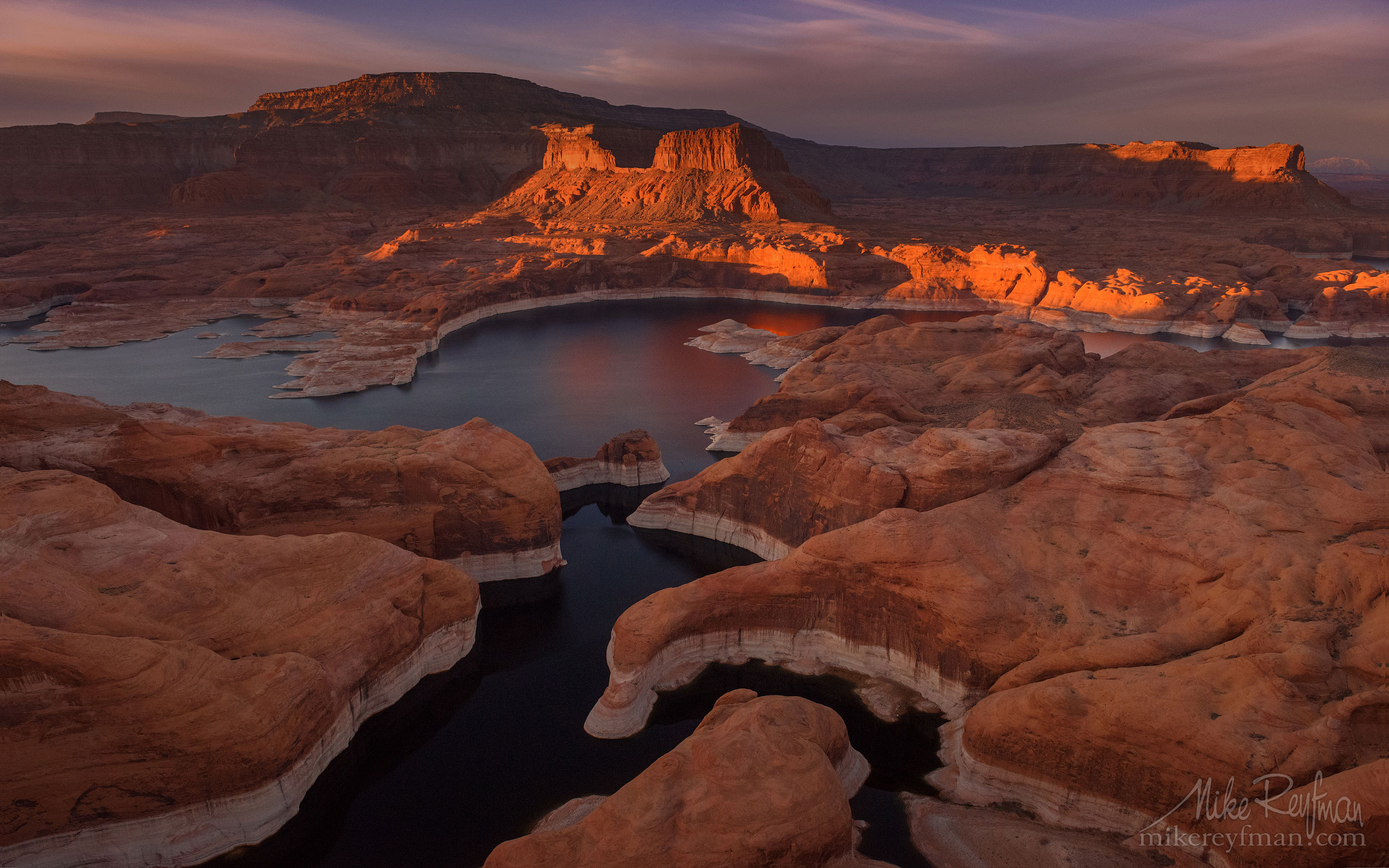
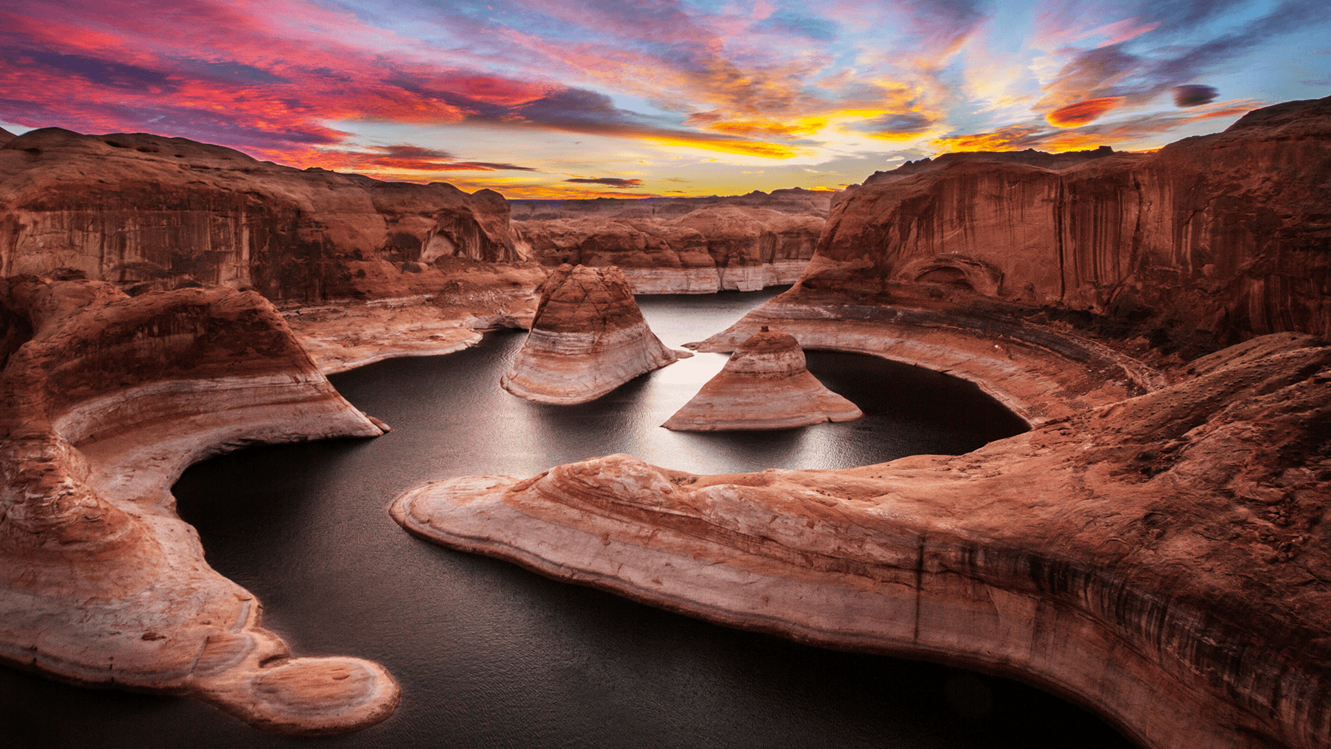
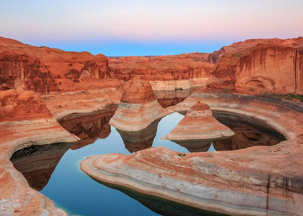
Reflection Canyon is a branching side canyon on the west side of the main channel at about mile 56, just downlake from the mouth of the San Juan arm. It is best known for the overlook of its meanders, reached by a 15-20 mile round-trip, mostly cross-country hike from a trailhead near mile 50 of the Hole-in-the-Rock Road; overnight trips need a free permit. By boat you can explore its arms directly from the water.
Wilson Creek is a side canyon of the San Juan arm, between Trail and Desha canyons in the lower part of the arm. The lake ends in the canyon near a waterfall whose top is close to the full-pool line; at lower lake levels the canyon floor is mostly slickrock. There are no services on the San Juan arm, so bring enough fuel.
Good Hope Bay is a wide bay at about mile 121, roughly 25 miles uplake from Bullfrog. Its open water makes it a favorite for waterskiing, wakeboarding and tubing, and Ticaboo and Red canyons are nearby. There are no services, so fill your tanks before you go.
This is a graded County road from Highway 95, over Blue Notch Pass, almost to the shore of Lake Powell. Slightly more difficult trails will take you to the shore.
Fiftymile Canyon is a narrow side canyon off the Escalante River arm of Lake Powell, below the Straight Cliffs of the Kaiparowits Plateau. Its creek and narrows make a classic hike from the boat.
Boater notes (summer 2026): Gregory Natural Bridge, underwater since the 1960s, has re-emerged up Fiftymile Canyon at low water, and boaters reported driving under it.
Rock Canyon is a north-side tributary of the Colorado at about mile 143, upstream of Hite near the Dirty Devil. There is some camping at the mouth when the lake is high enough to reach it by boat.
Narrow Canyon is the stretch of the Colorado between Mille Crag Bend, at the foot of Cataract Canyon, and the mouth of the Dirty Devil River, where Glen Canyon begins. John Wesley Powell's 1869 expedition named it. The Hite Crossing Bridge (UT-95) spans it. When the lake is high it is part of Lake Powell; at lower levels it is river.
Alcove Canyon is a side canyon in the Great Bend section of the San Juan arm, a quieter part of the lake with good camping and hiking. There are no services on the arm, so bring enough fuel for the round trip.
Halls Creek Bay is a long bay on the west side of the lake at about mile 93, just south of Bullfrog. Halls Creek runs down along the Waterpocket Fold from Capitol Reef National Park into the head of the bay. The bay has plenty of camping, and an arch near its far end is hard to spot from the water.
Navajo Canyon is the long, narrow side canyon that opens off the main channel near buoy 10, uplake from Antelope Point Marina. It is the longest side canyon on Lake Powell that is not a river arm. The land above the shoreline is Navajo Nation, so hiking or camping off the lake requires a Navajo Nation permit.
Little Valley Canyon opens into the head of Last Chance Bay, beside Last Chance Canyon, on the north side of the lower lake. Explore it on foot from the back of the bay.
Rock Creek Bay is a large bay on the north (Utah) side of Lake Powell's main channel, between West Canyon and the Dangling Rope area. Its arms and coves offer beaches, sheltered anchorages, fishing, and a floating restroom.
Boater notes: the "Hole in the Roof" rock feature in Rock Creek Bay, also called the Toilet Bowl, collapsed on Aug 8, 2024.
Knowles Canyon opens off the east side of the main channel at about mile 109, just uplake from Forgotten Canyon. A year-round stream runs down the canyon through cottonwoods and reeds, with small beaver ponds, and there is an arch high on the north wall near the mouth. There is good camping near the mouth.
Cedar Canyon opens off the main channel at about mile 110, just uplake from Knowles Canyon, near Warm Spring Canyon and the Tapestry Wall. Camping spots are few.
Dry Rock Creek is one of three canyons, with Rock Creek and Middle Rock Creek, that open off Rock Creek Bay near buoy 36, a few miles downlake from Dangling Rope. The canyons are out of the wind and have beaches for camping, fishing and watching sunrise or sunset.
Trail Canyon is a side canyon of the San Juan arm, one of the first past the arm's mouth at about mile 57, between Cha Canyon and Wilson Creek. Stan Jones Arch overlooks the arm just west of it. There are no services on the San Juan arm, so bring enough fuel.
The South Fork of Ticaboo Creek is a side canyon of Ticaboo Creek, which reaches the upper lake around mile 122. It has narrow, slot-like sections; check the flash flood forecast before going in.
Moki (Moqui) Canyon is a large side canyon on the east side of the main channel at about mile 99, the first major canyon uplake from Halls Crossing and Bullfrog. Before the lake filled, archaeologists recorded more than 100 Ancestral Puebloan sites here, mostly small granaries. Hikes start up big sand slides and slickrock; the sand gets very hot in summer. North Gulch is a steeper side branch with more ruins and petroglyphs.
Copper Canyon enters the upper San Juan arm from the south, in the arm's lightly visited upper section. Depending on lake level and silt, boats may not be able to reach it. The land on that side is Navajo Nation, so hiking requires a Navajo Nation backcountry permit.
Neskahi Wash enters the San Juan arm from the south in the Great Bend section, near Nokai Canyon and Zahn Bay. The land south of the arm is Navajo Nation, so hiking up the wash requires a Navajo Nation backcountry permit. There are no services on the arm.
Driftwood Canyon is a short side canyon off the main channel around mile 46, a few miles uplake from Dangling Rope and downlake from Forbidding Canyon. It narrows quickly into a slot you can keep exploring on foot. Steps cut into the sandstone near the mouth are known as the miners' stairs. Wind and boat traffic in the main channel can build rough water quickly.
Nokai Canyon enters the upper San Juan arm from the south, in the Great Bend section of the arm. The land on that side is Navajo Nation, so hiking requires a Navajo Nation backcountry permit. Nokai Dome and Monitor Butte rise nearby.