

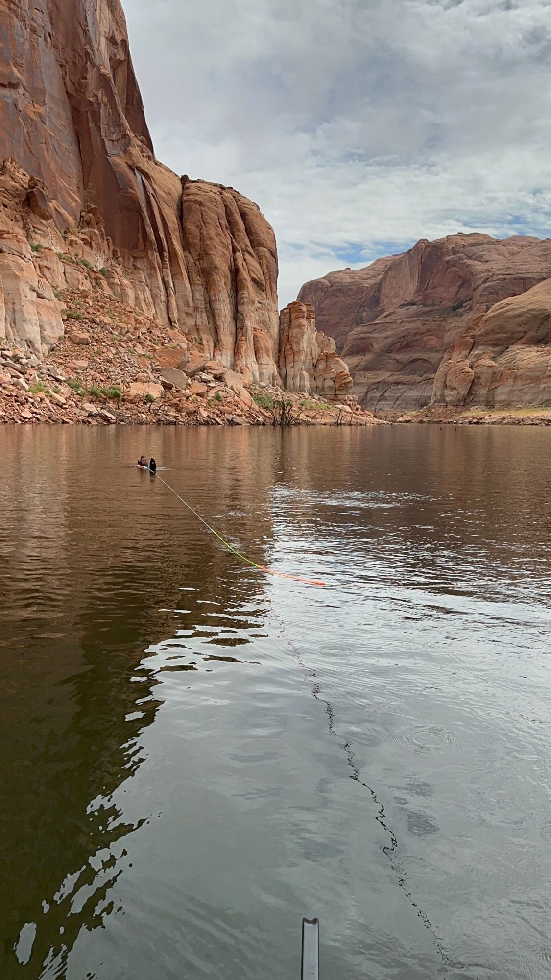
Where this map started
In 2010, AJ Brau was 12 and on a family trip to Lake Powell. The paper map kept blowing around the boat, and with no cell signal, a phone showed only a blue dot on a blank gray screen. The idea was simple: put the map on the phone, with GPS that works without service.
AJ learned design from YouTube videos, sketched the screens, and found a developer willing to help on a small budget. At 15, under the name A.J. Call, AJ launched the Lake Powell Map app: satellite imagery, canyon names, hikes, arches and floating restrooms, all working offline. KSL covered it in 2014 as the "No Signal App". About $100 of homemade flyers on houseboat row helped it reach around 10,000 downloads.
When AJ left on a church mission, the app fell off the App Store. Boaters noticed. In 2017, someone on a Lake Powell fishing forum asked, "Anyone know what happened to the LakePowell App?"
In 2021, AJ came back to the same problem and started Wander, which builds offline maps for destinations. Lake Powell was one of the first. Today Wander powers the official destination maps for Yosemite.com, Gettysburg, Raleigh and other destinations across the US. Lake Powell Now picks up where the original app left off, with today's shoreline, ramp status from the park service, hazard reports from boaters, live ramp webcams, and offline downloads for when the signal drops.
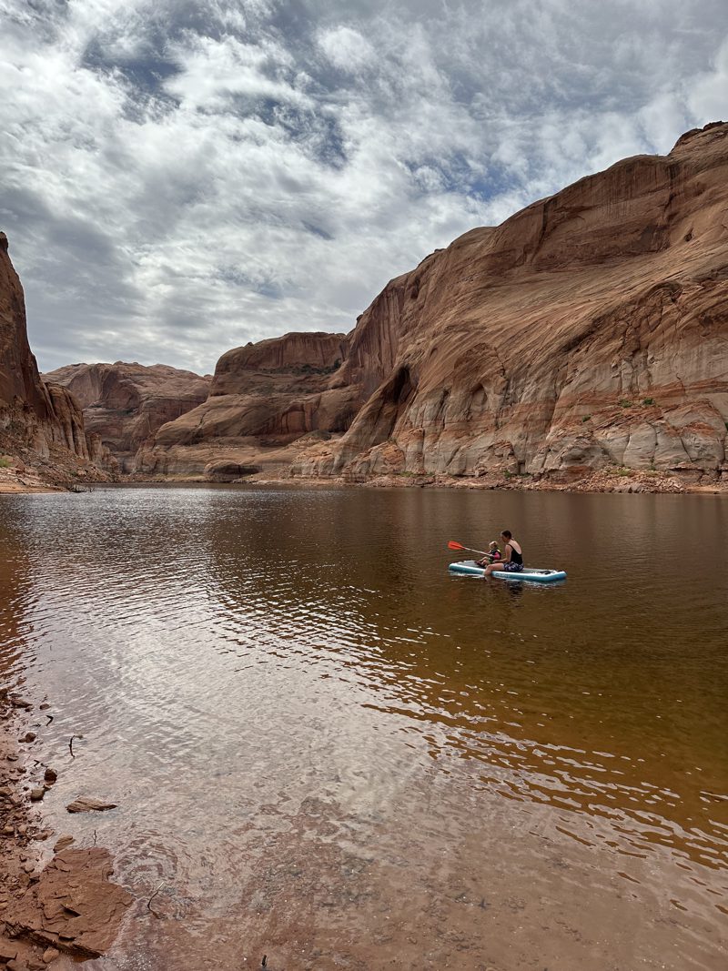
Take this map on the water
Free on Wander. Download the map before you launch: there's no cell service on most of the lake.