

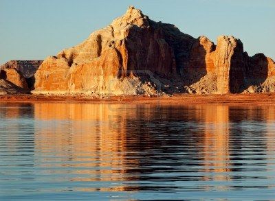
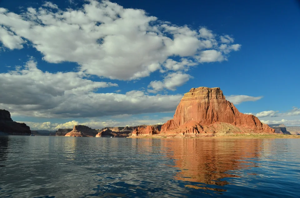
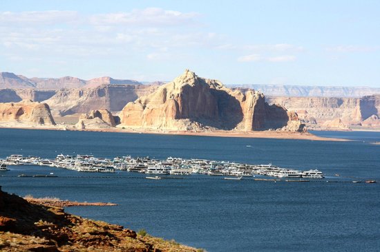
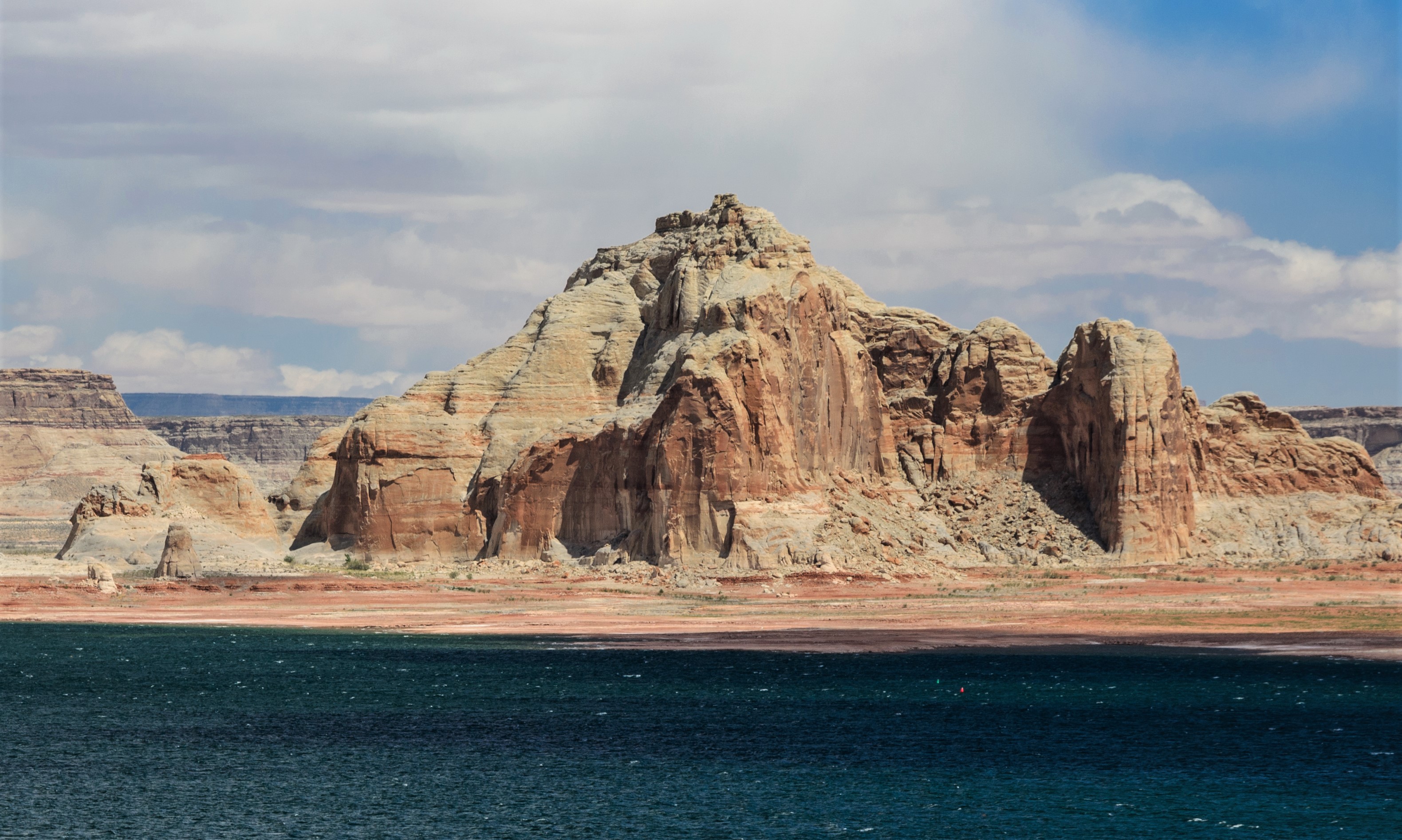
Castle Rock is a sandstone butte near Wahweap. The Castle Rock Cut, a channel through the saddle beside it, was first dug in the early 1970s and has been re-excavated and deepened several times since. It links Wahweap Bay with Warm Creek Bay and, when the lake is high enough to use it, saves about 10-12 miles (roughly an hour) on trips uplake. Check with the NPS whether it is open before planning around it.
Questions about Castle Rock
Ask a question about Castle Rock
Add a photo
Get notified when someone answers: free in the Wander app